
Acadiana Inundated with Heavy Rain Thursday, More Possible Today
The National Weather Service Office in Lake Charles is reporting that the Lafayette area received a little more than four inches of rainfall during the day on Thursday. While that's far from a record, it's still a lot of water to deal with.
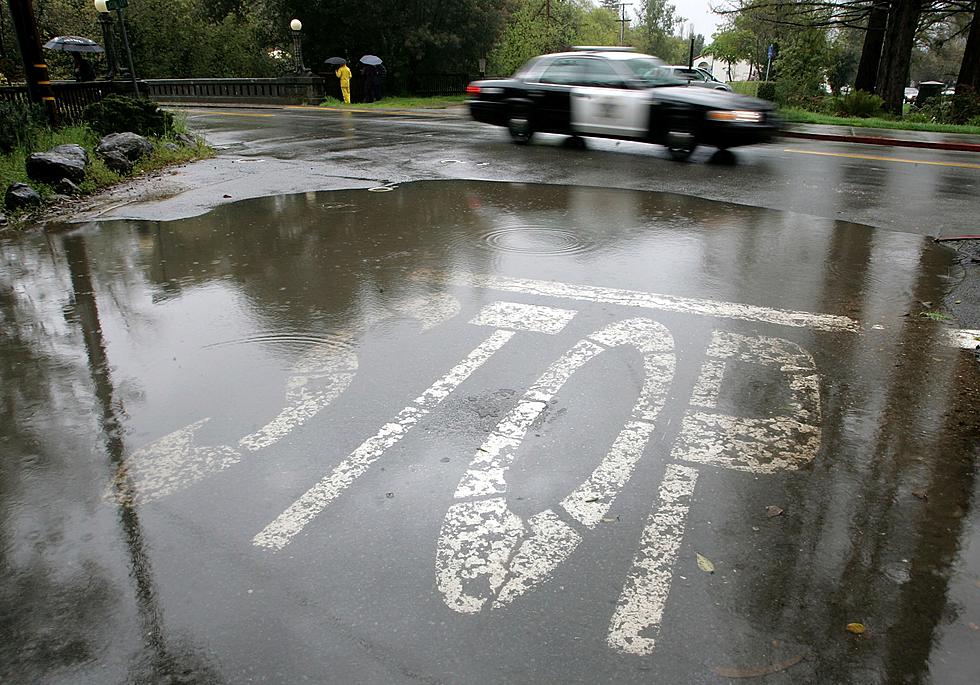
Fortunately, not all of that rain came in a short time period so flash flooding and street flooding were minimal as a result of the storms. However, enough rain fell to prompt the National Weather Service to issue a Flash Flood Warning for the Vermilion River.
Meteorologist Daniel Phillips of KATC television is suggesting that we will likely see similar weather conditions across the area again today. An influx of Gulf of Mexico moisture will spread northward across the state again this morning. When combined with the daytime heating that should provide enough instability to fire off more showers and storms.
While the potential for heavy storms is a possibility it doesn't appear as if these round of bumpy weather will require severe weather watches or warnings. Although the Storm Prediction Center does have most of Louisiana in the marginal risk zone for severe storms during the day today.
The biggest threat for most of us will come in the form of very heavy downpours. If you were out in the rain yesterday you know just how heavy that rain can fall. The potential for flooding rains does appear to be more likely in the western sections of Acadiana through Lake Charles and into southeast Texas.
The forecast for Acadiana from the National Weather Service does include the potential for another inch or so of precipitation between now and Saturday. There will be a bit of break in the rain threat for Saturday but plan on increased rain chances during the day on Sunday when another round of soaking rains could be possible.
Venomous Snakes in Louisiana
More From 97.3 The Dawg


