

Beryl Stronger – Texas Landfall Likely With Louisiana Impacts
It was on June 25th that tropical observers in Louisiana first noted that the National Hurricane Center was paying special attention to an area of disturbed weather in the open waters of the Atlantic Ocean. By June 28th that area of disturbed weather had become a tropical cyclone with a name. The storm is Hurricane Beryl and in its brief existence, it has given forecasters a lot to look at.
Currently, the scenario the National Hurricane Center is monitoring is Beryl's approach to the Riviera Maya region of Mexico's Yucatan Peninsula. The storm should make landfall in Mexico later this morning. As of now, Beryl is a Category 3 storm on the Saffir-Simpson scale. So damage in the Yucatan will likely be extensive not only from high winds but heavy rains and a raucous storm surge along the coast.
As you can see the forecast models, see the updated models here, suggest that Beryl will cross the Yucatan Peninsula and enter the southwestern Gulf of Mexico. From there the storm should move to the west-northwest and impact the western Gulf Coast sometime on Monday. Below is the Official Forecast Track from the National Hurricane Center.
As you can see it is in basic agreement with the spaghetti models pictured earlier in this article. The intensity forecast suggests that Beryl will make landfall in extreme northern Mexico or extreme southern Texas as a Category 1 Hurricane. But the effects of the storm won't be limited to the Rio Grande Valley.
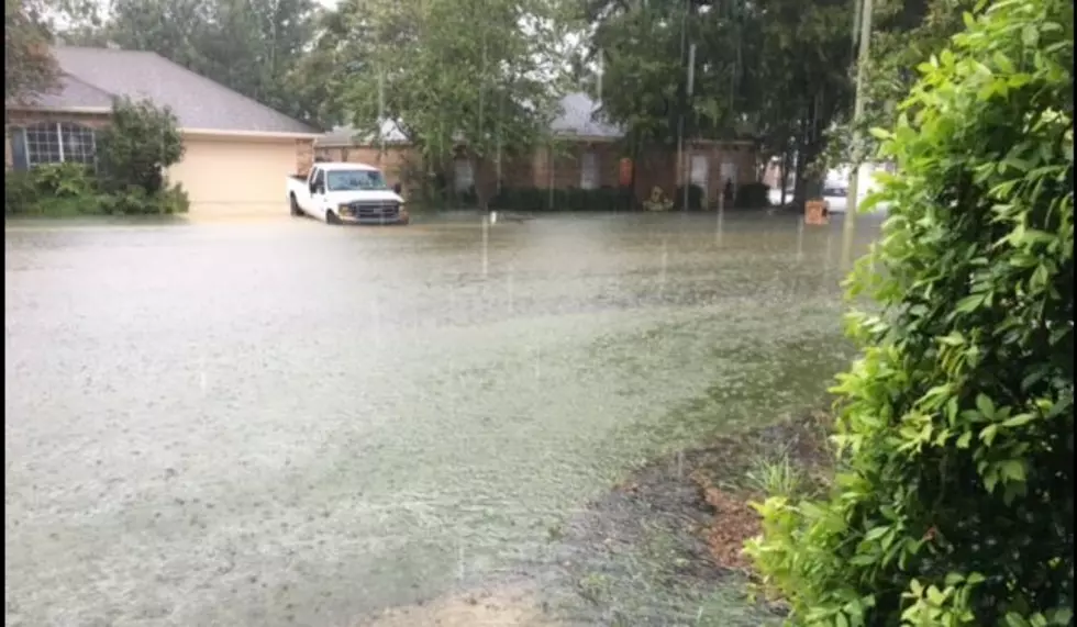
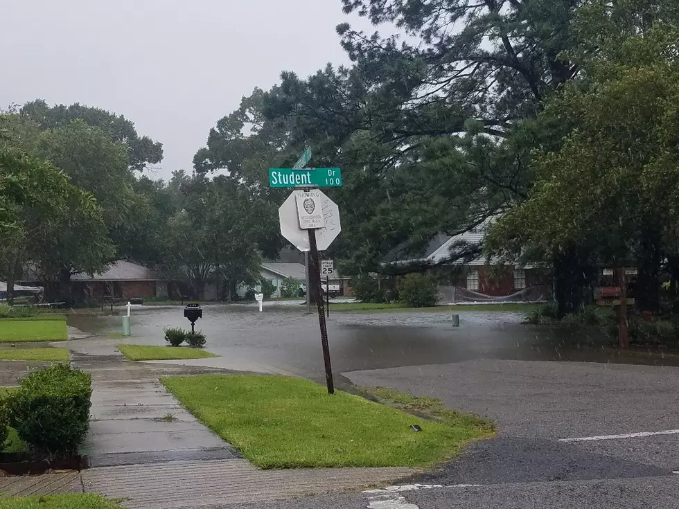
Forecasters with the National Weather Service's Weather Prediction Center are suggesting that moisture from Beryl will move north along the upper Texas coast and into southwest Louisiana late this weekend and early next week. That will raise the rain chances and the rainfall projections. Some scenarios suggest several inches of rain for portions of Louisiana before (what should be the remnants of) Beryl dissipates or moves out of the area.
The presence of a tropical cyclone in the Gulf of Mexico will also increase wave action along Louisiana's coastline. You can expect a higher occurrence of rip currents over the next several days as well. There could be some coastal flood advisories posted as well.
In short, Beryl will be a rainmaker for southeast Texas and southern Louisiana over the next several days. We encourage you to remain weather aware until the potential for life-threatening weather conditions has passed.
Startling Images of Hurricane Ida Aftermath
Gallery Credit: Michael Dot Scott
More From 97.3 The Dawg


![Beryl Tracking Toward the Gulf As a Category 5 Hurricane [Update]](http://townsquare.media/site/33/files/2020/09/Palm-Trees-in-Hurricane-Earth-Uncut-TV-via-YouTube.jpg?w=980&q=75)