Beryl’s Track – Northerly Shift a Concern for Gulf of Mexico
The "headline" of the 2 a.m. advisory on Hurricane Beryl from the National Hurricane Center sums up the seriousness of the situation in the Caribbean Sea this Wednesday morning. That headline reads "Dangerous Hurricane Beryl Expected to Bring Life-Threatening Winds and Storm Surge to Jamaica Later Today and the Cayman Islands Tonight and Thursday".
The most recent advisory on the Category 4 hurricane reported the maximum sustained winds around the center of circulation were as high as 145 mph this morning. Some gusts were reported to be even higher than that velocity. The center of Beryl was about 250 miles east southeast of Kingston Jamaica. Here is the latest graphic that depicts Beryl's location.
The forecast track for Beryl brings the center of circulation over or very near the Jamaican coastline during the day today. By tonight Beryl's center is expected to pass over or very close to the coastline of the Cayman Islands. Hurricane Warnings have bene posted for both Jamaica and the Cayman Islands this morning.
Meanwhile further to the west, Hurricane Watches are posted along the eastern coast of Mexico's Yucatan Peninsula. If there is a silver lining to the current weather scenario in the Caribbean Sea it is this. Beryl is forecast to weaken as it moves toward Mexico's coast. Below is the official track graphic from the National Hurricane Center.
As you can see from that graphic Beryl is forecast to make landfall in Mexico either very late Thursday night or very early Friday morning. The storm system will weaken as it moves across the peninsula. The storm's center is expected to move back over the very warm waters of the southwestern Gulf of Mexico by Friday evening.
Track model guidance still keeps the storm's center well south of Louisiana's coastline but the models do suggest that a landfall in far south Texas can't be ruled out. Any landfall in Texas or Mexico near the U.S. Border will likely not come until late in the day on Sunday.
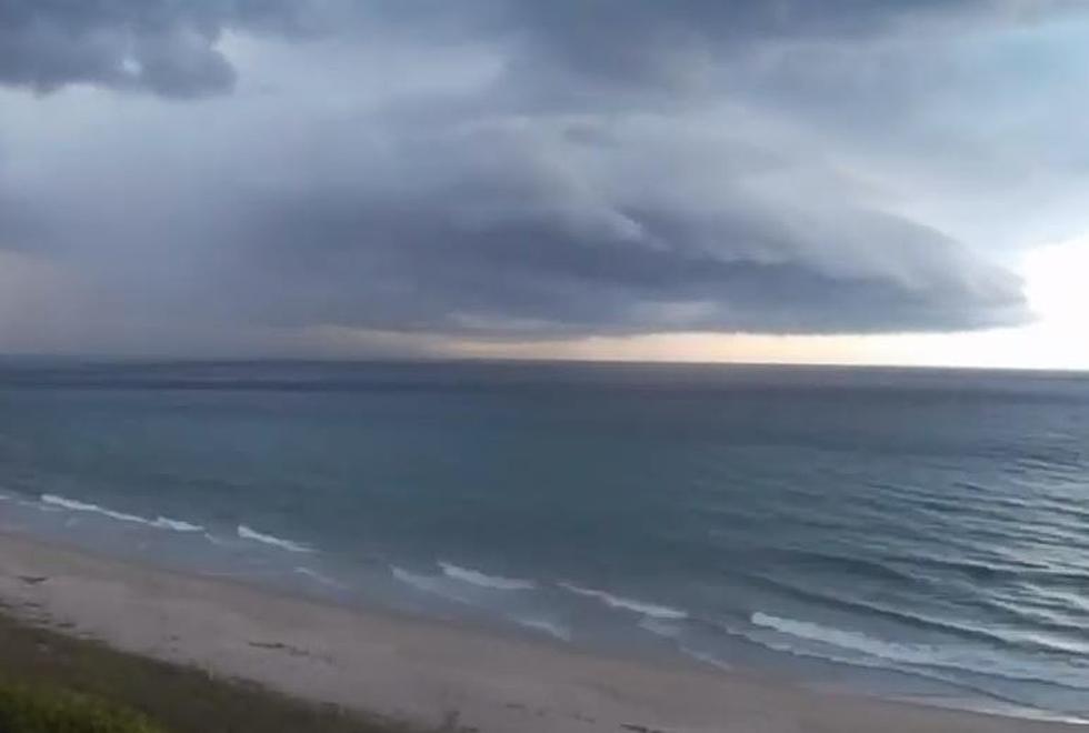
Here is where we caution you that forecast models and hurricane tracks do change over time. There is still a large margin of error that needs to be considered when looking at maps and forecast tracks. That being said, the impacts for the northern Gulf Coast will likely be limited to coastal flood and rip current issues, gusty winds, and an increased threat of showers and storms.
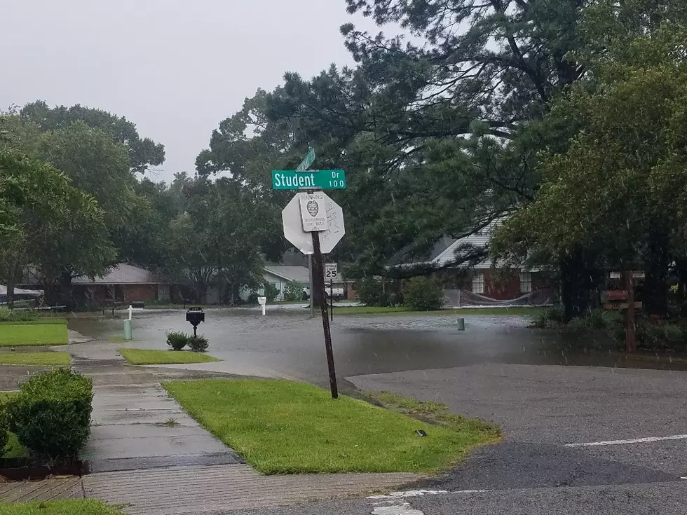
Rain chances for much of South Louisiana, according to the National Weather Service Forecast Office in Lake Charles will be well above normal from today through early next week. The probability of precipitation across the region this afternoon is 80%.
Similar rainfall probabilities are now forecast for the July 4th holiday Thursday as well as Friday and through the weekend. Those weekend rain chances will likely be influenced by Beryl as it makes an eventual landfall along the western Gulf coast.
The 7 Best Fourth Of July Fireworks In Louisiana
Gallery Credit: Sydney Ducharme
More From 97.3 The Dawg


![Beryl Tracking Toward the Gulf As a Category 5 Hurricane [Update]](http://townsquare.media/site/33/files/2020/09/Palm-Trees-in-Hurricane-Earth-Uncut-TV-via-YouTube.jpg?w=980&q=75)