Cold Snap Coming To Acadiana – Possible Freeze In Our Future
It appears as though Mother Nature is holding out for one more day of warm and humid conditions across South Louisiana. Then the roller coaster that is South Louisiana weather will be taking a long and rather deep plunge over the next week or so.
Forecasters say today's high temperature will be near 80 degrees. By this time next Wednesday South Louisiana residents could be waking up to temperatures very close to the freezing mark and afternoon high temperatures struggling to reach 50 degrees.
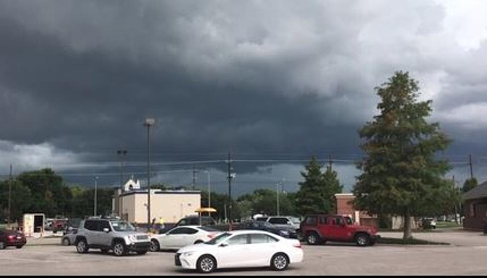
As you might imagine a cold front will be working its way across the region later today and tomorrow. The frontal system will bring a strong threat of showers and thunderstorms to the area today. The Storm Prediction Center is not calling for any widespread outbreak of severe weather. Rain chances should decrease as will afternoon temperatures with the frontal passage by tomorrow.
A secondary shot of even colder air should make its way into South Louisiana on Friday in the form of yet another cold front. That system will bring gusty northerly winds and some of the coldest temperatures we've felt this season.
Forecasters believe that by Tuesday and Wednesday of next week parts of Acadiana could be looking at temperatures at or below the freezing mark. In fact, most of next week should be sunny and unseasonably cool.
Obviously, a forecast made this far in advance will need to be adjusted and fine-tuned but we wanted you to at least have the weekend to start thinking about which plants you might like to keep and which ones you're willing to let die just in case Jack Frost comes to call before Thanksgiving.
More From 97.3 The Dawg