
Tropical System in Gulf Strengthens – Could Earn a Name
(KMDL-FM) Forecasters with the National Hurricane Center now say a broad area of low pressure centered in southern Texas this morning could move over the open waters of the Gulf and strengthen over the next several days. Some forecast models suggest the system could become a tropical depression or a named tropical storm along the Louisiana coastline in the next day or so.

That bright white blob of clouds you see along the Texas/Mexico border near Brownsville, Texas, is the area of concern that forecasters are watching. It's over land now, but it is expected to move into the warm waters of the western Gulf.
READ MORE: 2026 Probability of a Named Storm Making Landfall in Your Parish
If the system does spin up into a tropical depression or a named storm, it would be called Arthur. If it earns a name, it would be very short-lived. And the greatest threat from the system in Louisiana, Texas, and the northern Gulf Coast is flooding rain.
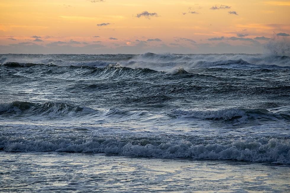
Forecasters with the National Hurricane Center have increased the probability of the tropical system strengthening to 60% over the next two days. And yes, in addition to the heavy rainfall, there will be gusty breezes, and there will be an increase in wave action and surf along Gulf Coast beaches.
As this tropical system is moving toward Louisiana from the south and west, a frontal system is already in the state after approaching from the northwest. As of now, the frontal boundary is stalled very near the Louisiana/Arkansas border. The area south of the front, basically all of Louisiana, is under the gun for flooding rains at least through Thursday.
How Much Rain Is Forecast to Fall in Louisiana?

Depending on where you are in the state, you could see just a few inches of rain between now and Saturday, or you could see as much as 10 inches of rain between now and Saturday. The consensus suggests that rainfall amounts of 4 to 6 inches will be very common across the state.
When Will The Heaviest Rain Fall in Your Hometown?

Today and tomorrow, the rain comes courtesy of the frontal boundary, which means that Central and Northern Louisiana will likely see the heavier showers. As the tropical system approaches from the south, it will kick up bigger rain chances for southern Louisiana. You can see how the timeline and the rain chances play out in the graphic from the National Weather Service in Lake Charles we've posted above.
READ MORE: Save Time and Your Back - Fill Sandbags This Way
The Storm Prediction Center has now added at least a marginal possibility of severe storms in southern Louisiana on Wednesday. I would not be surprised if we don't see the threat of stronger storms increase as that tropical weather system slides up the Texas coast closer to Louisiana.
When Is The Heavy Rain Supposed to End in South Louisiana?
The light at the end of the tunnel appears to be flickering at the end of the week as far as when the rain chances will ease up. By Saturday, we'll still have a threat of showers, but it will be more of an airmass or afternoon/evening risk of rain and storms as opposed to a flooding risk and heavy downpours.

The bottom line is to be safe on the roads, be prepared in your home, and make sure you stay up today. Our App is a really good tool for doing that.

Make sure that you have Alerts/Notifications turned on so you'll get breaking weather and traffic details as they happen. Or you could just stay off the road and do this. I mean, since you're not driving and all. Oh, you're at work? Well, we won't tell if you won't tell.
The Dirty Dozen - The Most Popular Alcoholic Drinks in Acadiana
Gallery Credit: Bruce Mikells
More From 97.3 The Dawg