Dry Air Will Impede Tropical Development Off Louisiana Coast
I am starting to think one of my favorite weather phenomena is dry air. Dry air has saved our bacon during the past couple of tropical weather events here in South Louisiana and it looks as if it will be doing it again this weekend.
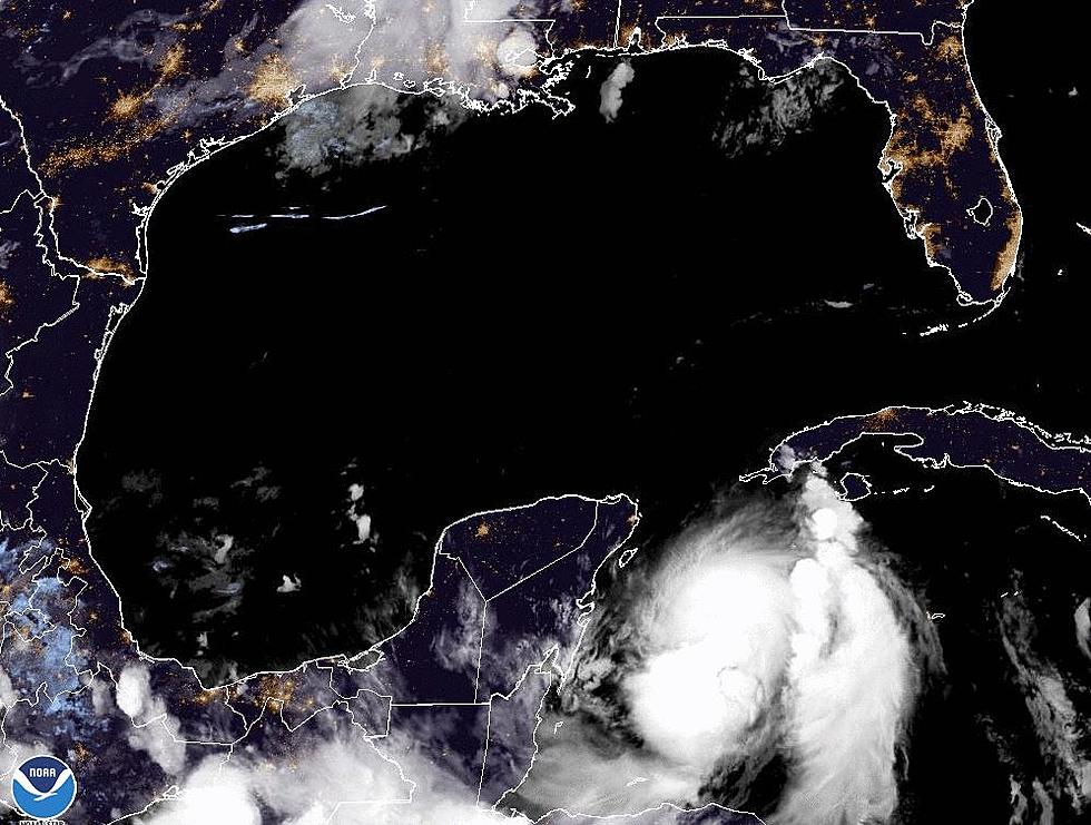
Forecasters with the National Hurricane Center have been projecting development of a low-pressure system along a frontal boundary that is situated just south of the Louisiana coast.
That low pressure was thought to have the potential for tropical development over time. It now appears as if conditions in the northern Gulf of Mexico will not be that conducive for development because of dry air.
The Hurricane Center observers note that the system is producing widely scattered showers and thunderstorms over the coastal waters this morning. However, upper-level winds and the presence of the drier air that has provided us with a couple of spectacular weather days will likely quash any further development.
While we likely won't see any tropical development, the Hurricane Center has that probability at 10% or less, we will likely see an enhanced chance of showers across the area for the weekend.
Most of the rain will come in the form of an afternoon or early evening shower or thunderstorms and rain probabilities will be 40% to 50% for both Saturday and Sunday afternoon.
More From 97.3 The Dawg


