Entire State of Louisiana at Risk for Severe Storms Friday
Residents of Desoto Parish in northwestern Louisiana are recovering from what appears to be a tornado that touched down there on Thursday. In St Landry Parish thousands of people were without electrical service as the sun came up this morning. And the National Weather Service is cautioning all of us in Louisiana to be weather-aware again today as there is another significant threat of severe weather.
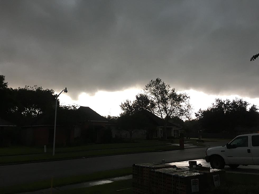
The catalyst for all of the wicked weather across Louisiana is a frontal system. That system has been stalled across the area for the past few days. This has allowed impulses of atmospheric energy to slide along the frontal boundary and kick off showers and storms. The storms have been made a bit more intense because of strong winds aloft and that's the reason forecasters are including concerns about hail for this afternoon and possibly tomorrow.
Speaking of hail, this past Wednesday National Weather Service investigators revealed a new size description for hailstones. For the first time I can recall hail was described as being "DVD-Sized".
Holy cow, that's a big hailstone. We don't anticipate anything like that across Louisiana today but hail is a concern. If you'd like to know more about hail forms and how they determine how big they are, you'll find that here.
The above graphic comes from the Storm Prediction Center it shows where forecasters believe the best chance of strong to severe thunderstorms are. As you can see, much of Louisiana is shaded in yellow. That means a slight risk of severe storms. The area shaded in the darker green is under a marginal risk of severe storms.
All in all over the next 24 hours some 36 million people from Texas to Louisiana to southern Arkansas will be at risk for storms with winds over 50 mph, small hail, torrential downpours, and small hail. I wish we had good news for you for Saturday but, you can see for yourself. The graphic below is from the SPC and it's their Saturday severe storm outlook.
Once again all of Louisiana will be at risk for severe weather on Saturday but that threat will be slightly less than it is today. The news is a little better for Sunday. The severe weather threat appears to be not as prevalent but there is still a pretty decent chance of showers and thunderstorms.
The outlook for the upcoming work week seems to be a typical summer forecast. Skies will be partly to mostly sunny. There will be a slight risk of a shower or thunderstorm in the afternoon and early evening hours. The afternoon temperatures will reach into the lower 90s.
12 Things You Know if You're From Louisiana
Gallery Credit: Bruce Mikells
More From 97.3 The Dawg