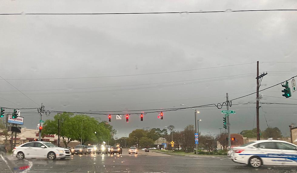
Funnel Clouds Possible in South Louisiana Today
The National Weather Service Forecast Office in Lake Charles has issued a special weather statement for residents who live along and south of I-10 in southwest Louisiana. For a lot of us, we "forecast the weather" by looking outside our windows, but that "eyewitness" weather forecast isn't going to tell you the entire story today.
If you've lived in Lafayette, Lake Charles, Cameron, Holly Beach, Kaplan, Abbeville or within 50 miles of those cities for at least one summer then you know the weather forecast can get quite monotonous during the summer months. "Partly cloudy hot and humid with a chance of showers in the afternoon and early evening hours" is normal daily outlook for our part of the world from the middle of May through September or early October.
Airmass thunderstorms, as these afternoon thunderstorms are classified can and do get heavy at times. The usual concern with these kinds of thunderstorms most often involves torrential rains that fall over a small area for hours at a time. So street flooding is a regular occurrence. Sometimes these storms can produce strong winds and small hail too. Then we come to the issue that has caused the National Weather Service to issue a Special Weather Statement , funnel clouds.
Funnel clouds can be the beginnings of a tornado. However, not all funnel clouds reach the ground. And not all funnel clouds are created equally. Here's what the Weather Service wants you to know about the potential:
A very moist and unstable tropical airmass is in place across the area. Meanwhile...the vertical wind profile over the area is light and variable. These conditions are favorable for the development of tropical funnel clouds...especially where rain cooled boundaries...known as outflow boundaries...and the seabreeze collide.
The most likely area for tropical funnel clouds to appear is the area along and south of I-10 and generally west of I-49/US 90. This includes portions of Cameron, Calcasieu, Vermilion, Acadia, Jeff Davis, Lafayette, and Iberia parishes.
Why Isn't There a Tornado Watch Posted?
The ingredients needed to for wide spread tornadic activity to occur are just not available in the atmosphere over the area of concern. But there is enough instability in the upper atmosphere for a vortex to form and perhaps "drop" from the cloud toward the ground.
For the most part none of these funnels will be anything more than just an interesting phenomenon to observe. That doesn't mean that one of them can't reach the ground. Should that happen the National Weather Service will issue the appropriate warnings.
As we move into the afternoon hours the daytime heating will exacerbate the instability in the atmosphere and already we are seeing thunderstorms start to form. You can see the current scan from the National Weather Service Radar here. Those storms will become more numerous over the daytime hours and begin to die down as we lose the daytime heating when the sun goes down.
So, don't be surprised if you see a thunderstorms cloud with a tail this afternoon. You might see several. If you do, just be a little more cognizant of the weather conditions and be prepared to move to a place of safety should conditions warrant but the prevailing thinking is you probably won't have to do much more than grab an umbrella and make sure your car's windows are rolled up.
12 Things You Know if You're From Louisiana
Gallery Credit: Bruce Mikells
More From 97.3 The Dawg


