Gordon’s Effects Minimal For Acadiana
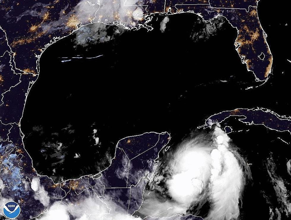
The National Hurricane Center is continually updating their forecast prediction for the track and intensity of Tropical Storm Gordon. In fact, if the prognosis is correct the system should reach minimal hurricane status later today as it nears the Mississippi and Alabama Gulf Coast.
In fact, that upgrade to hurricane status could come sooner than later. An Air Force Hurricane Hunter aircraft was flying inside the system early this morning and found that Gordon was stronger than originally suggested. With maximum sustained winds now just below the hurricane strength threshold, the change in designation is likely over the next few hours.
A Hurricane Warning is in effect from the mouth of Pearl River to the Alabama/Florida line. This does appear to be the most likely place for the center of the storm to cross the coast. It also means that a great deal of the heaviest weather will remain well to the east of Acadiana.
For our part of the world, we can certainly expect some showers and thunderstorms. Most of those will likely happen in the afternoon and early evening hours. The same kind of weather is in the forecast for Wednesday when we might see even more shower or thunderstorm activity as the center of Gordon will be moving well to the north and east of the area.
We shouldn't see monsoonal rains as a result of Gordon but we certainly can't rule out tropical downpours over the next several days as well. The national weather service is suggesting that the eastern sections of Acadiana could see two or more inches of rainfall over the next few days. Those totals will be less for areas further to the west.
Elsewhere in the tropics, the Hurricane Center continues to monitor Tropical Storm Florence located well out in the Atlantic Ocean. Plus there is another tropical wave that has rolled off the coast of Africa that bears watching as well.
More From 97.3 The Dawg


