Heavy Rain Likely By Monday Afternoon And Evening
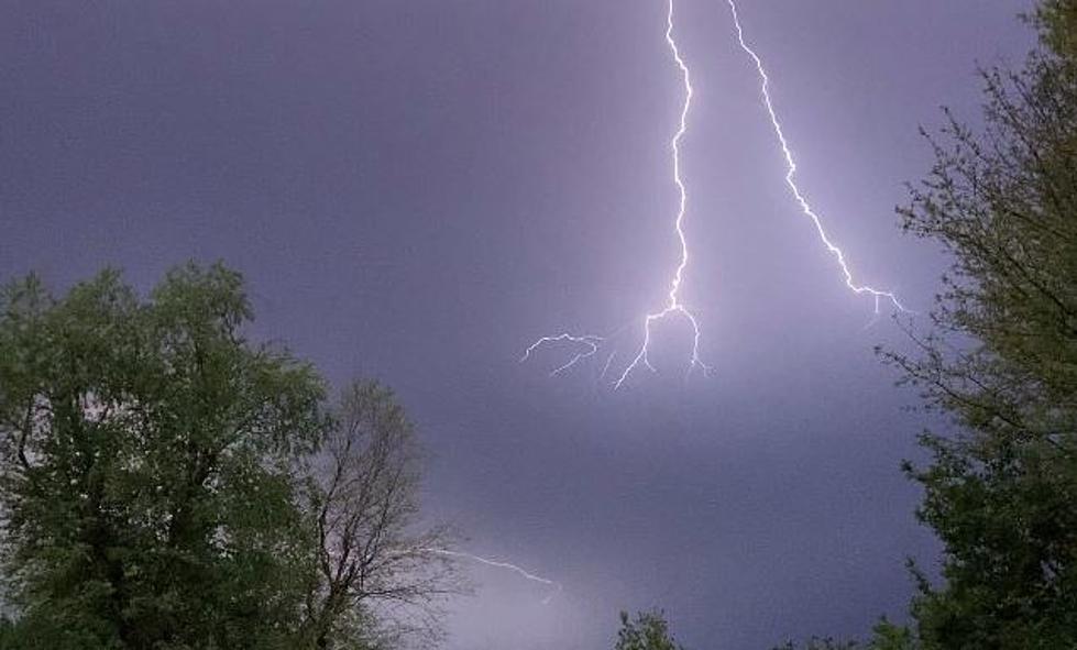
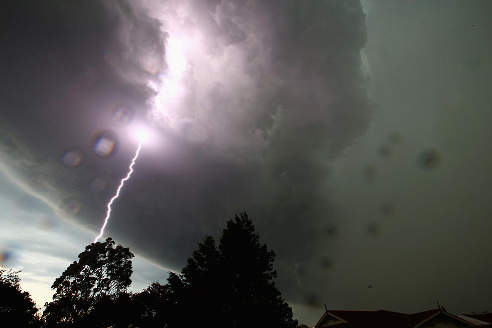
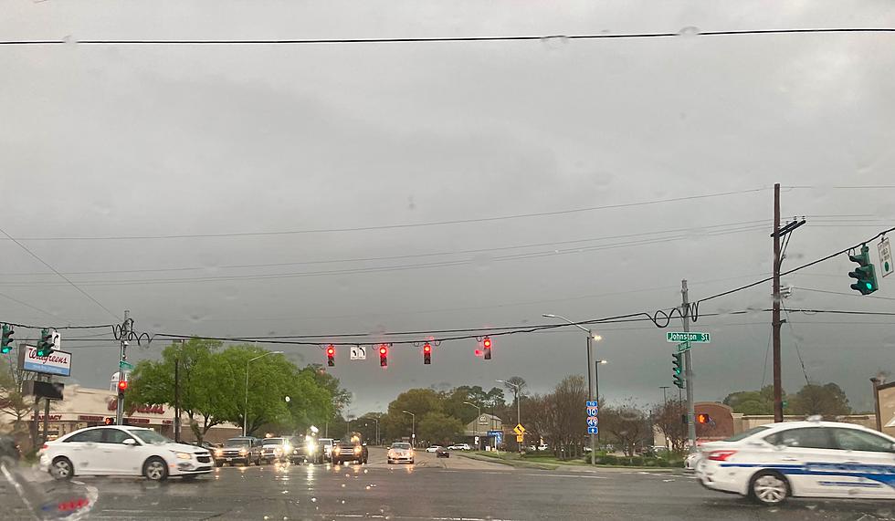
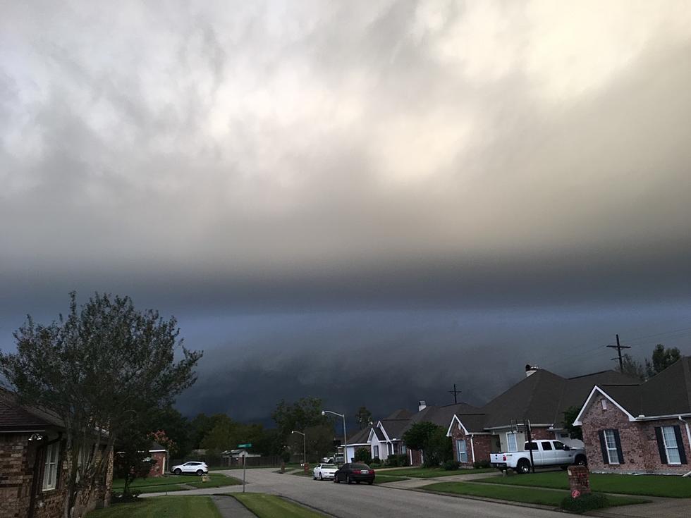
A strong storm system currently moving out of the Rockies and into the Great Plains is expected to bring heavy rain and some strong thunderstorms to Louisiana beginning Monday afternoon through Tuesday evening.
The Storm Prediction Center does not have any areas of Louisiana forecast to see severe weather, at least at this time. That forecast could certainly change. The regional radar scans out of Central and East Texas show lines of heavy rain and thunderstorms moving in our general direction.
Forecasters believe that the heaviest rainfall is likely late Monday afternoon and Monday night. Rainfall accumulations of 1 to 2 inches across many parts of the state will not be uncommon.
After the system moves through the rest of the work week, Wednesday through Saturday should be much calmer and quite nice. For those of you who are wanting a sneak peak at the Fat Tuesday forecast, it's not too swell.
Forecasters are suggesting that both Lundi Gras and Mardi Gras will hold a significant threat of showers, storms, and heavy rainfall. The good news is that this is a long range forecast and the probability of a change in the forecast is quite likely.
More From 97.3 The Dawg


