Hurricane Center Monitoring New System in the Gulf
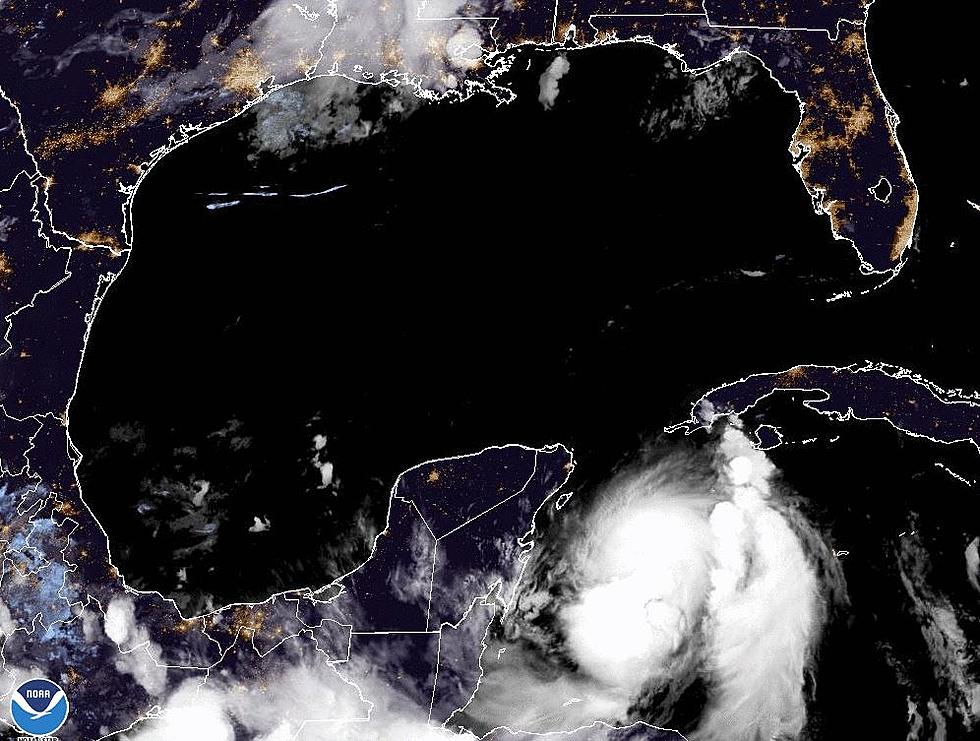
I don't think we've had a stretch during this tumultuous Hurricane Season 2020 where we have gone more than a few days without some kind of tropical activity in the Atlantic Basin to be concerned with. Just as Mother Nature was bringing Tropical Storm Beta onshore last night, a potential new trouble spot was emerging off of the South Florida coast.
According to the National Hurricane Center, the showers and storms associated with this system are actually remnants of an old frontal boundary. This kind of tropical formation isn't that uncommon as our hemisphere starts the transition between summer and fall.
As of now, forecasters are not giving this area of disturbed weather much of a chance to strengthen. They only give it a 10% chance over the next five days. But, we've seen other systems this year, Sally, Beta, and Omar, just to name a few that have had similar forecast probabilities as they entered the Gulf of Mexico as well.
So, yes, we are going to watch this one too.
The convection associated with this area of disturbed weather could bring some tropical downpours to Key West Florida and the island nation of Cuba over the next day or so as it drifts westward into the very warm waters of the Gulf of Mexico.
We will just need to wait and see, which is basically all we can do anyway.
Elsewhere in the tropics, Tropical Storm Beta has made landfall on the Texas coast. Tropical Storm Paulette has reformed over the Atlantic. Hurricane Teddy is heading to Canada after it sideswiped Bermuda and that's it. For now, but we've still got a good solid two weeks of Louisiana Primetime as far as the tropics go. The hurricane season itself won't end until November 30th.
What You Need to Prepare Your Dog for a Road Trip
More From 97.3 The Dawg


