Hurricane Center Monitoring System in Gulf – Louisiana’s Forecast
Twelve days into the 2024 Hurricane Season and already the National Hurricane Center is issuing forecasts and advisories on a storm system in the Gulf of Mexico. Forecasters have already warned us that this year's tropical season could be one for the record books. But, at least we didn't start the season ahead of schedule as we have done numerous times in the past few years.
The first named storm of the 2024 season will earn the moniker Alberto. That will be followed by Beryl, Chris, Debby, and Ernesto. Let's hope for the sake of all of us who suffer "tropical anxiety" this time of year that we don't make it to the "E" storm before the Fourth of July. And just to ease your concerns, that's not a likely scenario, at least right now.
Here is what we do know as far as the "right now" in the tropical Atlantic Basin.
That's the forecast graphic issued by the National Hurricane Center. Those of you who follow tropical forecasts will note the "X" is yellow. That means the probability of development for this system is less than 40%. When the "X" turns orange that means a higher probability for development. A red "X" on a tropical graphic from the NHC is usually a sign that a named storm or tropical depression is likely to form.
The graphic illustrates the "suggested" location of the storm system's center. But in this case, the "center" is not really well defined. The Hurricane Center describes the area of low pressure as being "elongated and disorganized". Those two words are great news for us, but not good for tropical development.
The sea surface temperatures in the Gulf of Mexico are certainly warm enough to support tropical development and the upper-level winds are conducive for further development as well but forecasters do not think the system, because of the proximity to the coast and its disorganized nature, will get that much stronger.
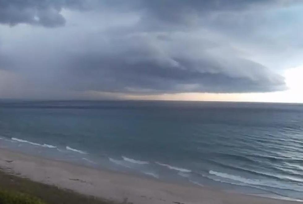
The storm system is expected to move onshore and into the southeastern United States where it will be a prodigious rainmaker over the next several days. So its effects on Louisiana's forecast should be minimal. However, those with beach vacations planned over the next few days should consider changes in sea conditions along the Alabama and Florida Coastline.
Unfortunately, the risk of deadly rip currents along the beaches will be on the increase as we get closer to the weekend. If you do have plans for the beach this weekend please be aware that sharks aren't the only thing that can hurt you in the ocean.
Next Week A System in the Gulf Could Impact Louisiana
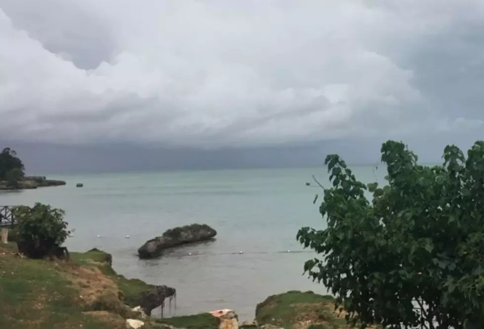
After this storm system washes its way onshore and into the southeastern United States forecasters will be watching the western Gulf of Mexico for yet another area of disturbed weather. As of now, model guidance does not suggest the system which could be a major rainmaker for Louisiana and the Upper Texas Coast will develop into a tropical cyclone but anything is possible this time of year and with the ocean water this warm.
That yellow shaded area in the Bay of Campeche is going to be our rainmaker late this weekend or early next week. It's chance of developing into a tropical cyclone is minimal at this time.
The GFS Model suggests that by early Tuesday morning, an area of disturbed weather could be moving northward in the Gulf of Mexico toward Louisiana's coastline. Again, this is one model solution and not an official forecast. And, because of the long-range nature of the forecast, there will likely be changes that forecasters will need to consider.
KATC TV 3 Meteorologist Daniel Phillips has a very comprehensive explanation of what Louisiana's coast can expect from this tropical moisture intrusion in a piece he published on the TV station's website. Below is a graphic from that piece that suggests the inflow of tropical moisture into Louisiana will begin during the day on Sunday.
However, as Daniel notes in his story, there is a lot of room for discrepancy and disagreement among the forecast models. But I feel very confident in suggesting a Father's Day cookout in South Louisiana might need to be done inside because of an ever-increasing threat of rain.
Rain chances for Sunday in South Louisiana will be 60% or better. Those chances for heavy rain and thunderstorms should stay in the area through Wednesday of next week.
11 Odd Things People Say When They Find Out You're From Louisiana
Gallery Credit: Bruce Mikells
More From 97.3 The Dawg