
Hurricane Forecasts – How Accurate are Those Really?
The world of weather is full of misconceptions. People love to clown on our local meteorologists saying "they're wrong most of the time". Well, the fact of the matter is, they Rob Perillo, Daniel Phillips, Bradley Benoit, and Dave Baker really do get the forecast right more times than most when it comes to predicting our day to day weather forecasts.
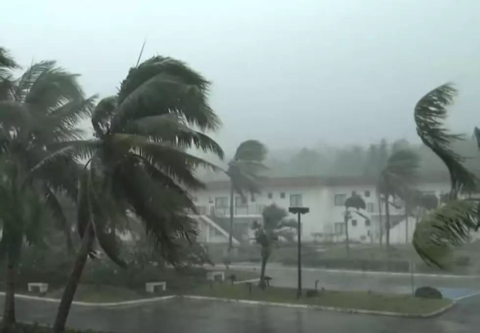
But what about hurricane forecasts? Those always seem to be changing, as we've witnessed with Hurricane Delta. This past weekend, National Hurricane Center forecasters felt that Delta was going to follow a path similar to Hurricane Sally and affect the southeastern corner of our state.
Then toward the early part of the week, it was looking as if Delta was going to do its best Hurricane Lili impression and come right up Vermilion Bay. You remember Lili right? It was the storm that was a category 4 system off of Louisiana's coast in 2002 that fortunately weakened to a category 2 storm before making landfall.
Now tropical track models are suggesting that Delta's path on to Louisiana's coastline will be similar to, at least at the coast, the track of Hurricane Laura from just over a month ago.
How can this group of scientists be so wrong all the time? Well, they're not. It's me and you who are wrong in our understanding of what a weather forecast is and how there is a built-in variance in accuracy over time.
Compared to the 1980s a five-day hurricane forecast is as accurate now as the one-day forecast was back then. In fact, two and three-day forecasts from the National Hurricane Center have a margin of error of less than 100 nautical miles. When you consider that the Atlantic Ocean is about 14 million nautical miles big, predicting a storm within 100 miles of all that vastness is pretty darn impressive.
It's that margin of error that prompted the National Hurricane Center to go to the all too familiar "cone of uncertainty". This variance in a storm's forecast track allows regular folks like you and me to see the potential for error in making our plans. The cone also is a reminder that hurricanes are usually large storms and their effects extend well beyond the center of the circulation track.
We, the general public, like to focus on the line. We also like to think that last Sunday's forecast has something to do with this Friday's forecast. It doesn't really. Sunday's forecast setup Monday. Monday's forecast set up Tuesday and so on and so forth. So, technically the forecasts are "connected". But each day's new forecast is simply a fine-tuning of the previous day's forecast.
Now, if you naysayers will go back and look. You can see, for example in Hurricane Delta's forecast tracks, that not once did the storm system go outside the cone. So, technically, each day's forecast was 100% accurate.
Our weather scientists do a great job of covering and explaining these massive storms. The technology and tools used to create those forecasts have saved thousands of lives and they will only get more accurate as new technology is developed. I think they do a great job of giving us a heads up when we might be in harm's way.
But, if you think you can do better, I have an experiment you can try. Find a swimming pool and place a single leaf right in the middle of it. Now, tell me exactly where and when that leaf will come in contact with the edge of the pool.
You see, leaves on a pool like hurricanes on an ocean don't steer themselves. They are moved by outside influences. So, you only have an entire atmosphere of variables to consider when making your prediction. See, it's not as easy as throwing spaghetti at a map and calling it a model.
Fun Facts About Louisiana That May Surprise You
More From 97.3 The Dawg


