Isaias Brushes Florida Coast, Landfall in Carolinas Next
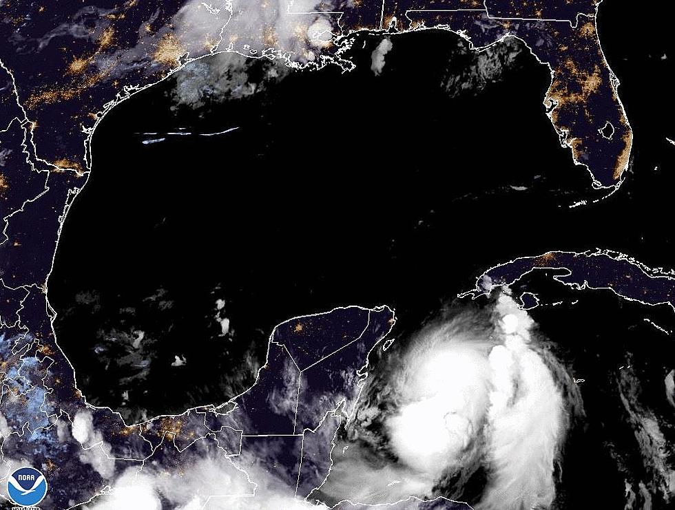
Hurricane Isaias is now currently classified as Tropical Storm Isaias as it spins some sixty plus miles east of Florida's Atlantic Coast. The storm has moved steadily up the peninsula for most of the weekend. However, the worst of the weather associated with the storm system has been offshore, at least for the most part.
Forecasters with the National Hurricane Center say Isaias could become classified as a hurricane before the center of circulation moves onshore in the Carolina's later today. As of now the area around Myrtle Beach South Carolina appears to be the most likely spot for a landfall but a wobble in the storm's track could make landfall come further south or further north.
The biggest threat from Isaias will likely be rainfall. Especially when the center crosses the coast. Forecasters believe the storm could drop anywhere from four to six inches of rain on coastal South Carolina and mid-section of North Carolina as the storm system moves northward. That rain threat should continue through parts of Virginia, Maryland, Pennsylvania, New Jersey, and New York over the next several days.
Meanwhile, in the tropical Atlantic, an area of disturbed weather a few hundred miles northeast of Puerto Rico has been given a 60% probability of becoming a tropical cyclone over the next five days. The general motion of this system is toward the Eastern Seaboard of the United States however many of tropical model forecasts suggest the system will remain at sea.
More From 97.3 The Dawg


