Lafayette Weather – Better Rain Chances Today
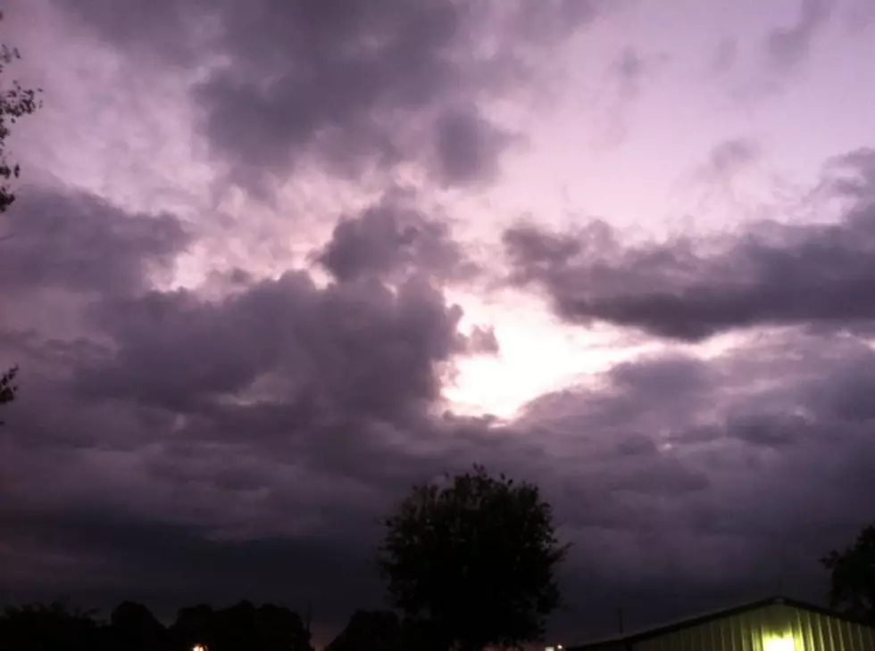
We had a day or so to catch our breath from the heat and humidity but now we are back to a summer-like pattern for at least the next couple of days. With an abundance of moisture in the atmosphere it won't take much to kick off a shower or thunderstorm over the next several days.
There is a disturbance approaching from the northwest, add that to the unstable atmosphere and the fuel with temperatures approaching 90 each afternoon and you've got better than average rain chances over the next several days.
Dave Baker puts the chance of rain today at 60%. Most of the shower and thunderstorm activity will occur in the midday or late afternoon. Overnight, with the loss of the daytime heating, the rain chances will drop to 30%. Wednesday showers and thunderstorms will again be possible but not quite as likely with a chance of rain at 40%.
For fans of cooler weather there is good news on the horizon. If the forecast models hold we could see our first significant cool down by the middle of next week. The long range Europoean model is suggesting a significant cold front will push through the heart of Acadiana by next Wednesday. This will deliver overnight low temperatures in the middle 50's.
More From 97.3 The Dawg