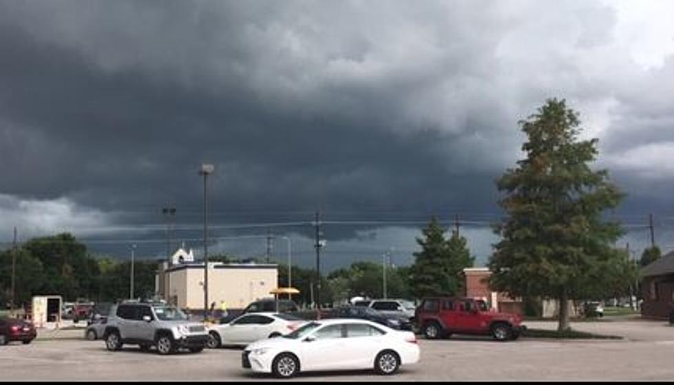
Lafayette Weather – Stormy Start To Sunday
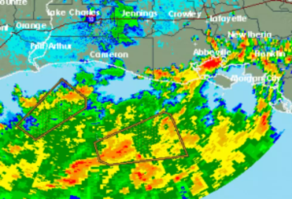
A large area of rain and thunderstorms is moving on shore from the Gulf of Mexico this morning.The latest radar scan will show you where the heaviest activity is falling. This area of showers and thunderstorms should affect mainly the area along and south of a line from Southeast Texas extending to Oakdale and Opelousas Louisiana.
This thunderstorm outbreak is being enhanced by abundant moisture in the atmosphere along the Gulf Coast and a mid level low pressure system moving out of Texas. This combination will be the catalyst for showers and thunderstorms through out much of the day today.
The official forecast from KATC's Storm Team 3 Weather Lab indicates enhanced rain chances today with a return to more average rain chances on Monday. The forecast for the rest of the week appears to be hot and dry with only minimal chance for afternoon thunderstorms.
More From 97.3 The Dawg