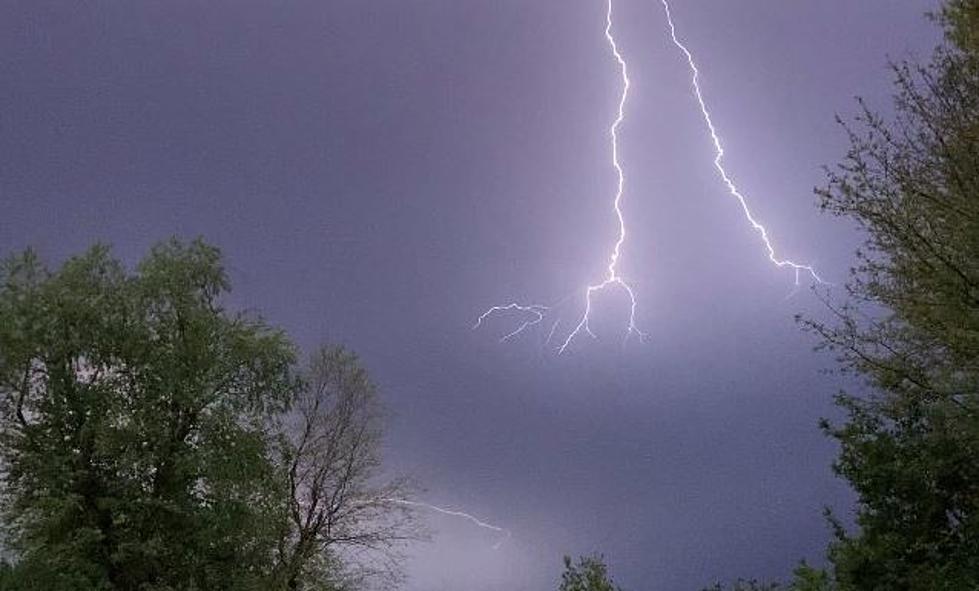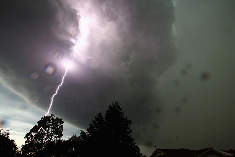
Lafayette Weather – Strong Storms Possible Friday
The ride into work in the wee small hours of this morning was fabulous. I had the top down on the Thunderbird and the air was refreshingly cool. When I got to the studios I had to check the calendar to make sure we hadn't skipped out of July and gone right to late September. We had not. We will be reminded that it is indeed still July by later this afternoon.
Here is what Rob Perillo is expecting to happen. The cold front that brought us a spectacular day yesterday will retreat northward out of the Gulf of Mexico as a warm front and eventually settle in over Central Louisiana as a stationary front. This will allow the heat and humidity to once again creep back into the Acadiana atmosphere.
To complicate things by tomorrow a low pressure system is expected to form along the frontal boundary. As the low pressure moves east out of Texas it will interact with the warm tropical air and the potential for thunderstorms will be on the increase.
Daniel Phillips forecast for today suggests a rain free day for the most part. Skies will show an increase clouds as the afternoon wears on and the rain chances will be minimal. By tomorrow the low pressure and frontal system will begin to interact and the rain chances will zoom up to 70%.
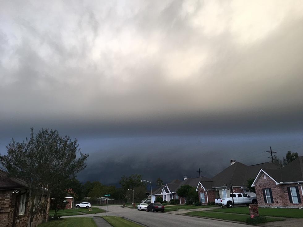
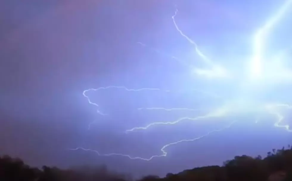
There is a minimal risk of isolated severe thunderstorms but right now forecasters are not anticipating any major outbreak of storms. That above average chance of rain is expected to stay in the area through Saturday.
More From 97.3 The Dawg
