Louisiana Bracing For More Severe Storms on Monday
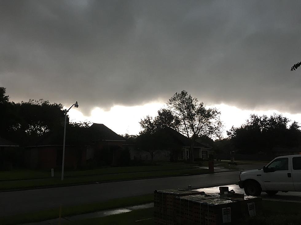
A resident of Delcambre, Louisiana said the severe thunderstorm that hit that small community on Saturday night was more intense than a hurricane. The witness described the feeling of pressure up against the side of his home as the storm moved through. That was just one of many stories that have been relayed and replayed in countless Louisiana cities and towns over the past ten days.
Storm damage on Saturday night was particularly painful at Iberia Parish's Rip Van Winkle Gardens. That facility had been hosting weddings and other gatherings up until the storm hit. And now with damaged buildings and ancient oak trees damaged too, the operators of Rip Van Winkle Gardens have closed the facility until further notice.
Storm Prediction Center Forecast More Severe Storms for Louisiana
The Storm Prediction Center, the severe storm forecast department of the National Weather Service, has kept Louisiana in its bullseye for most of the past ten days. It seems as if some part of the state has been under a threat of severe storms since the middle of May and apparently, today will be no different.
Pictured above is a look at the latest forecast graphic issued by the SPC. We can tell you that compared to the outlook just 24 hours ago, more of Louisiana has been included at a higher risk for damaging weather.
If there is any silver lining in this forecast it would be that the areas of Vermilion, Iberia, Lafayette, and St Mary Parishes that felt Mother Nature's wrath over the weekend might be spared today. Granted there is still a threat of showers and storms but the forecast does seem to keep the worst of the weather north of I-10.
Below is a snapshot from the radar scan from the National Weather Service, you can see a distinct line of storms bisecting Louisiana at this early hour. This scan is from 0200 A.M. Based on the anticipated motion and timing, this line could bring more rain, thunder, lighting, and high winds to places like Eunice, Opelousas, Oakdale, Lafayette, and Lake Charles by sunrise. See the live radar scan here.
There is a light at the end of the severe storms tunnel for Louisiana, it does appear as though severe weather will not be included in our forecast for Tuesday. In fact, after today's rain threat dissipates we should return to a more normal weather pattern. Namely, conditions will be hot and humid with a slight risk of air mass thunderstorms in the afternoon and early evening hours.
The only drawback to the lack of clouds and showers is the heat. You can look for temperatures to be 90 degrees or more in the afternoon for the remainder of the week.
12 Ways to Help Your Air Conditioner Cool Your Home Better
Gallery Credit: Bruce Mikells
More From 97.3 The Dawg