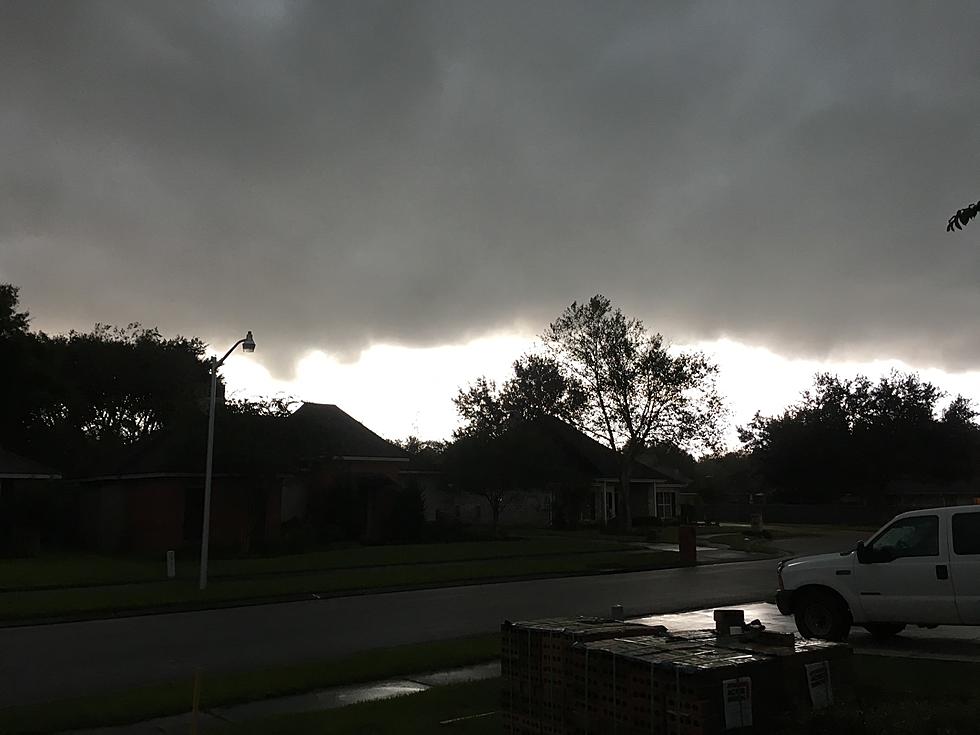
Louisiana Monsoon Monday – 3 Inches of Rain Per Hour Possible
Several of Louisiana's largest cities, namely New Orleans, Baton Rouge, and Lafayette could all be facing torrential downpours during the day on Monday. The threat of heavy rain is so pronounced that the Weather Prediction Center, whose mission is to "champion the operational prediction of rain storms...for the protection of life and property" has placed those cities and the surrounding areas at risk of an "excessive rainfall event" for at least the next 24 hours.
An excessive rainfall event is when the rainfall rate exceeds the capacity of a specific area to drain. In the Lafayette area, we have been told informally that our municipal drainage system is designed to handle a rainfall rate of two inches per hour, but only over a short span of time.
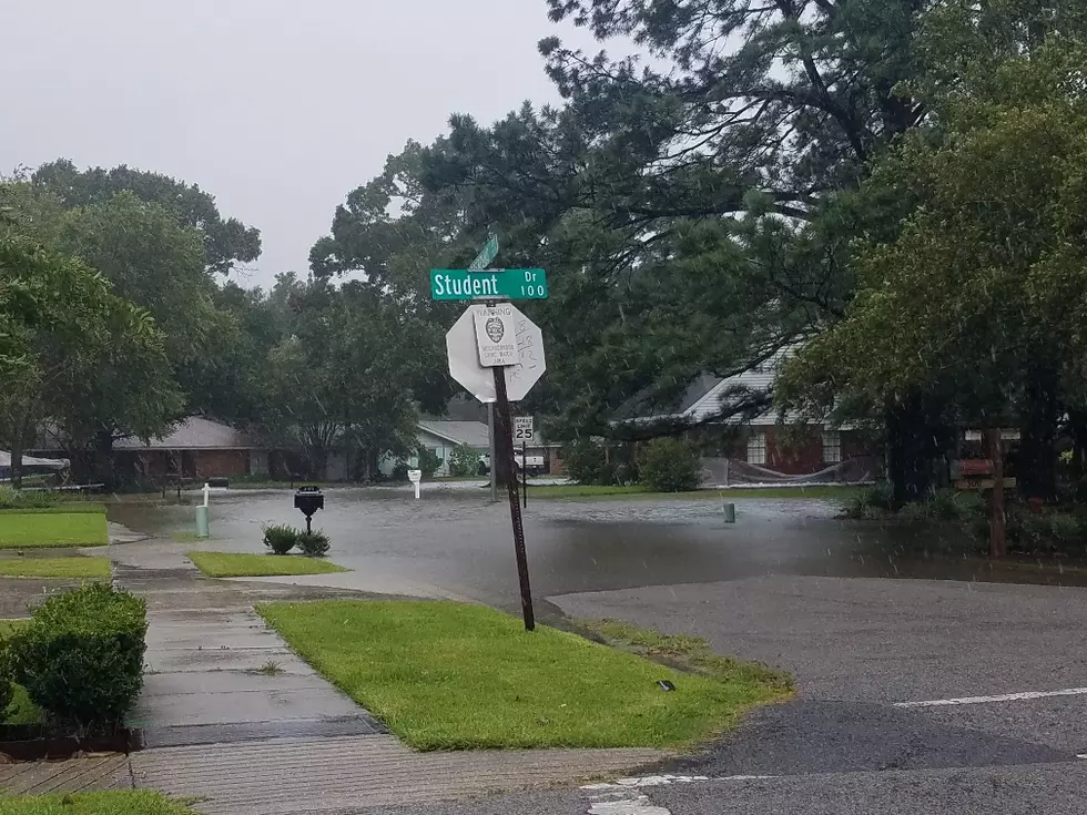
The longer the heavy rain persists or the heavier the rainfall rates are, that is when motorists begin to see scenes such as the one depicted from a recent storm on Ambassador Caffery Parkway in Lafayette a few months ago.
The Weather Prediction Center has placed the area generally south of I-10/1-12 at a slight risk for a tropical torrential downpour, or maybe more than one during the day today. Below is the graphic illustration of the WPC's outlook.
In a statement from the Weather Prediction Center, forecasters made this statement about the potential downpours the area could face during the day today. Below is the part of the statement that seems to be the most troublesome.
short-term rainfall rates very late tonight into early
Monday morning, up to 3" in an hour.
The statement from the Weather Prediction Center suggested that isolated rainfall amounts of three to five inches could be possible over the course of several hours. Such amounts would not be widespread but the possibility of localized flooding because of a torrential tropical downpour can't be ruled out.
The catalyst for the heavy rains is a developing weather system in the southwestern Gulf of Mexico. That system has already brought torrential rains to Mexico's Yucatan Peninsula. Forecasters with the National Hurricane Center believe the system will move into the southwestern Gulf of Mexico, Bay of Campeche if you will, over the next 24 hours. From there the system has been given a better-than-average chance to strengthen into at least a tropical depression.
Forecast guidance on the eventual path of this system, should it develop, is uncertain at this time but as of now, the biggest concern for coastal and inland Louisiana is the potential for flooding rains. Rain chances will remain high across the I-10 corridor through at least Wednesday but there will be a chance of showers and thunderstorms across the area for the balance of the workweek.
Those who live or have interests in low-lying areas that are prone to fast-rising water should remain weather aware for the next several days as the potential for tropical downpours with rainfall rates over an inch per hour could be possible at least through Wednesday.
5 Cheapest Homeowners Insurance Providers in Louisiana
More From 97.3 The Dawg