Marginal Risk Of Severe Storms Again Today
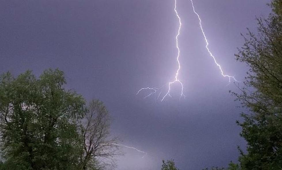
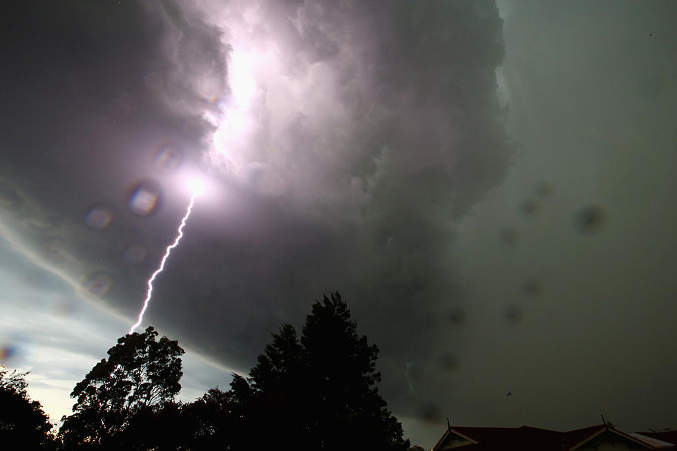
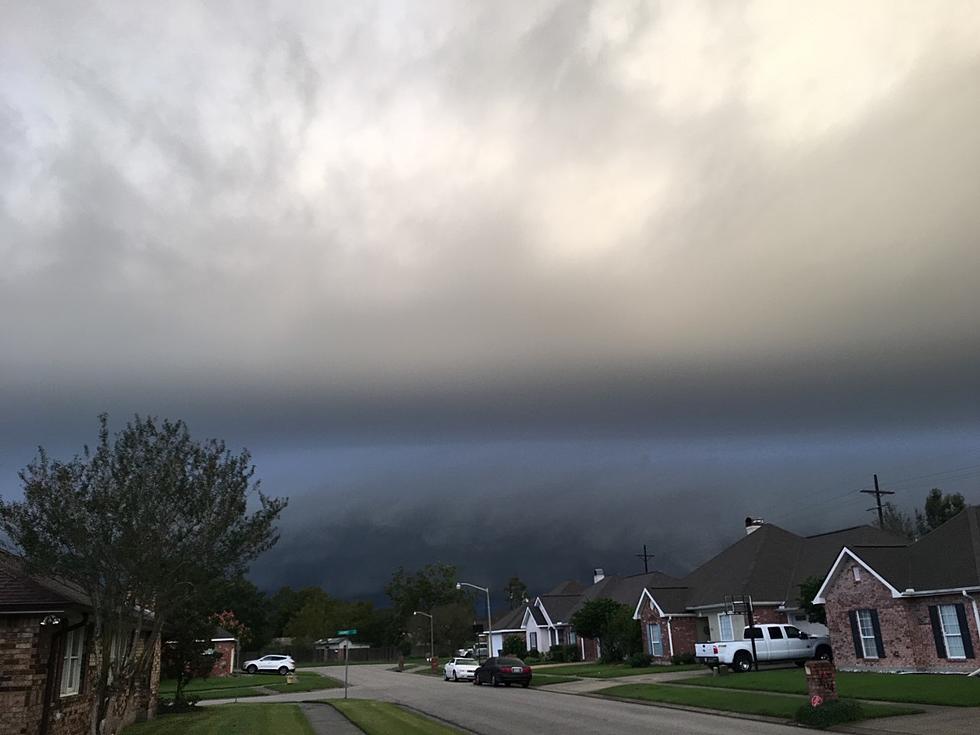
Nature is all about balance. When things are out of balance Mother Nature gets upset and can sometimes make a very sudden and violent correction in the atmosphere. We call those thunderstorms and yesterday there were quite a few of those popping up across South Louisiana.
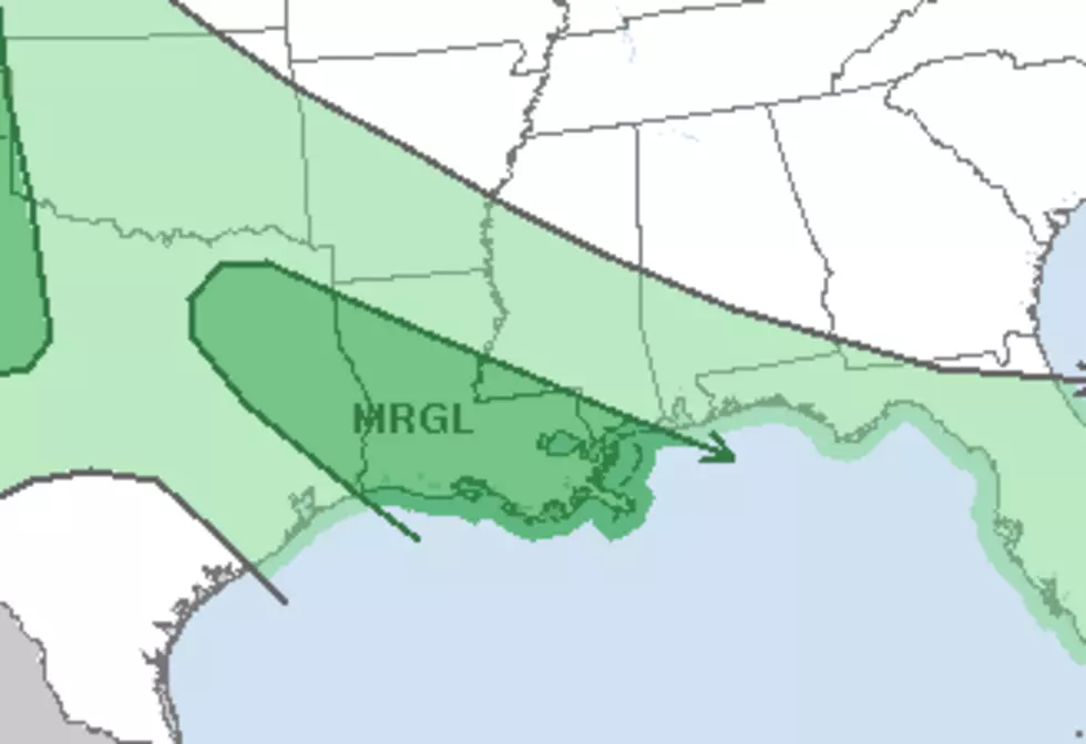
One of the thunderstorms may have produced a funnel cloud near Rayne late yesterday and we can't rule out the fact that some of today's thunderstorms could get rowdy as well. The Storm Prediction Center has placed most of South Louisiana in the marginal risk category for strong storms today.
Forecasters have rain chances listed as pretty high for today. A normal summertime forecast includes a 20%-30% chance of pop up thunderstorms. Today's forecast is calling for a 60% chance of rain and thunderstorms.
The catalyst for this enhanced threat of rain is a frontal system that is currently stalled across the area. This will provide the lift the atmosphere needs to aid in the formation of stronger storms. The most likely time for the rain to fall will be between 10 AM and 2 PM with another elevated threat expected from 6 PM until 10 PM.
Of course, use these figures for planning purposes only and don't rely on them as the gospel truth or you will be sorely disappointed and most likely soaking wet. You can't say we didn't warn you.
More From 97.3 The Dawg

