National Weather Service: Louisiana Severe Threat Looming Large
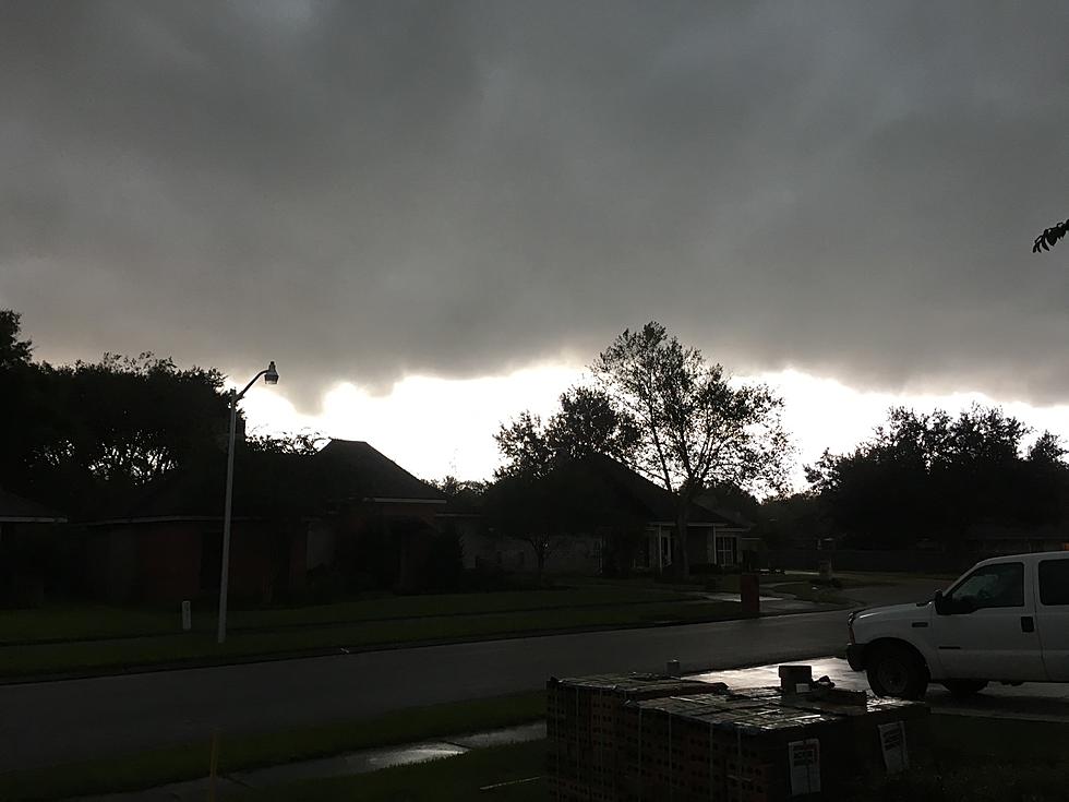
The National Weather Service Forecast Office in Lake Charles, Louisiana has been rather busy the past several days. While the forecast for cities such as Lafayette, Baton Rouge, Eunice, and New Iberia has only included a small chance of rain, Mother Nature has over-delivered. That's a long way of saying we certainly got a lot of rain and storms for only a 20% chance of showers.
Although we must give kudos to KATC Morning Meteorologist Daniel Phillips, Daniel's computer models over the past couple of days have predicted the strong storms and been very accurate in estimating their time of arrival and intensity. It looks as if Daniel and his GRAF Model and Power Doppler 3 will be busy again today too.
The major area of concern that you can probably pick out on the map above is that area shaded in red over southeastern Texas and southwestern Louisiana. That's where forecasters are predicting the heaviest rainfall over the next few days.
That unfortunately won't bode well for NCAA Baseball fans traveling to Bryan/College Station Texas for NCAA Regional Tournament action involving Louisiana's Ragin' Cajuns, Texas A&M, the University of Texas, and Grambling State University.
Play in that tournament doesn't begin until Friday afternoon but rain chances on Friday will be just as large as they are today and the threat of severe storms ramps up as well. Below is the Storm Prediction Center severe storm forecast for Friday.
Much of the same area is under the gun today but the threat across Louisiana is "marginal" for severe storms on Thursday and that bumps up to "slight" for Friday. And if you don't know what "marginal" and "slight" are referring to, here's a synopsis from the National Weather Service.
Rainfall amounts over the next four to five days will range from just a little to several inches. It all depends on if you get caught under a heavy thunderstorm and how fast that storm is moving. Since the catalyst for the storms is a stationary front, don't expect these storms to be "hauling the mail" if you know what I mean.
The National Weather Service Forecast for southern Louisiana includes a healthy chance of rain today, tomorrow, and Saturday. The rain chances dip just a bit on Sunday. The silver lining in these dark clouds is that daytime temperatures will struggle to get out of the 80s, so that's a good thing.
And, a little bird tells us to tell you that next week we can expect slightly cooler but more importantly less humid air across Louisiana. That will be a welcome relief from the afternoon storms and oppressive humidity but don't get used to it, we haven't even officially gotten to summer yet.
Fun Indoor Activities to do During a Heat Wave
Gallery Credit: Stephanie Crist
More From 97.3 The Dawg