Oppressive Heat Not Leaving Anytime Soon
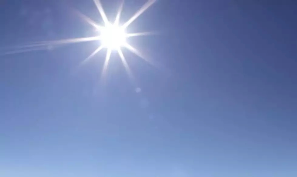
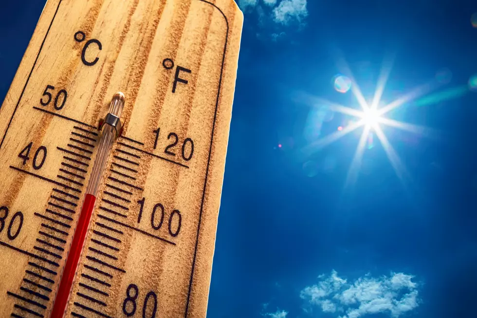
It's not unexpected that temperatures are in the 90 plus degree range in South Louisiana this time of year. It's not unexpected that the humidity is going to make those temperatures feel even hotter. What is unexpected is the lack of afternoon and early evening showers and thunderstorms that usually tend to cool things off.
A large dome of high pressure is currently controlling the weather pattern across the state. That means more of the same for most of the area. It's not just the I-10 corridor that is baking in the sun. Shreveport, Monroe, and Alexandria have had their share of mid -90's for the balance of the past week and a half.
These oppressive conditions have caused school administrators to curtail Summer camps for football, band, and cheer leading practice to hours outside of the 10am to 7pm window. That is when the temperature and heat index combination is at its most dangerous.
Some forecasters think that any significant change to the weather pattern won't happen until the end of next week. That's when some of the long range forecast models show this area of high pressure sliding more to the west. Until then you can expect more of the same from Mother Nature.
One forecaster did speculate that the threat of afternoon showers or thunderstorm might increase just a bit by late in the weekend as a slight variation in the upper air patterns might increase available moisture across the area.
More From 97.3 The Dawg


![Thousands of Cattle Found Dead Due to Heat Stress [Video]](http://townsquare.media/site/33/files/2022/06/attachment-nmurmru-Reddit.jpg?w=980&q=75)