
Severe Storms Moving Across Louisiana This Morning
(Lake Charles, LA) The National Weather Service has issued a Severe Thunderstorm Watch for the western half of Louisiana and a large portion of East Texas this morning. The watch includes the area outlined in blue on the graphic below.

An active storm system is currently pushing across the watch area, and there have been multiple severe thunderstorm warnings associated with this weather as it rapidly moves to the southeast.
What Louisiana Parishes are Included in the Severe Thunderstorm Watch?
The Severe Thunderstorm Watch, which includes Lafayette, Vermilion, Jeff Davis, Allen, Acadia, and St. Landry Parishes, is in effect until 7:00 this morning. It is quite possible that this watch or additional watches and warnings could be posted for other parishes not currently included in the watch area.

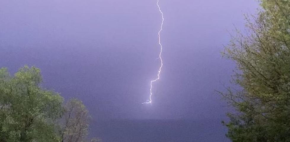
At 2:30 this morning, here's what the National Weather Service Radar revealed as to the location and intensity of these storms. That is the radar image you see above. If you are reading this at a time other than the "wee small hours of the morning," then you'll want to see the current radar scan; you can view it here.

READ MORE: Texas, Louisiana Coasts Monitoring Potential Tropical Development
READ MORE: TSA Works to Quell Costco Rumors Amid Real ID Confusion
Forecasters with the Storm Prediction Center have placed a large portion of Louisiana at a marginal risk for more severe storms today. The only exception is the extreme northwestern corner of the state, which experienced strong and severe storms earlier this morning.
Unfortunately, the weather news doesn't improve that much over time. The SPC Severe Weather Outlook for Tuesday suggests that the southern half of Louisiana, including the I-10 corridor, will be at risk for more strong to severe storms. And if you look at the forecast for the rest of the week, it doesn't improve that much.

How Much Rain Will South Louisiana Get This Week?
In addition to severe storms with gusty winds, frequent lightning, and possible tornadoes, there is also a marginal risk of an excessive rain event for almost all of Louisiana on Tuesday. An excessive rain event is when it rains extremely hard over a short period of time, and municipal storm drainage systems can't remove the water fast enough. This can result in street flooding and some flash flooding as well.
The National Weather Service Forecast Office in Lake Charles says rain chances of 80% to 90% will be common across the I-10 corridor in southwestern Louisiana through Sunday, so don't plan on having too many opportunities to get outside projects accomplished without the possibility of heavy rain and storms.

Meteorologist Breyanna Lewis of KATC TV 3 Weather Experts shared the graphic you see above concerning rainfall totals between now and Thursday. As you can see, we are not expecting a massive rain event, but some locales could see a lot of rain in a very short period of time. You can see Breyanna's forecast from KATC here.
Since we could have some high water on some of our roadways, it's probably a good idea to review these facts concerning driving your car on flooded streets. We want to take care of you and help take care of your transportation investment as well.
Common Car Problems Caused by Driving Through High Water
More From 97.3 The Dawg


