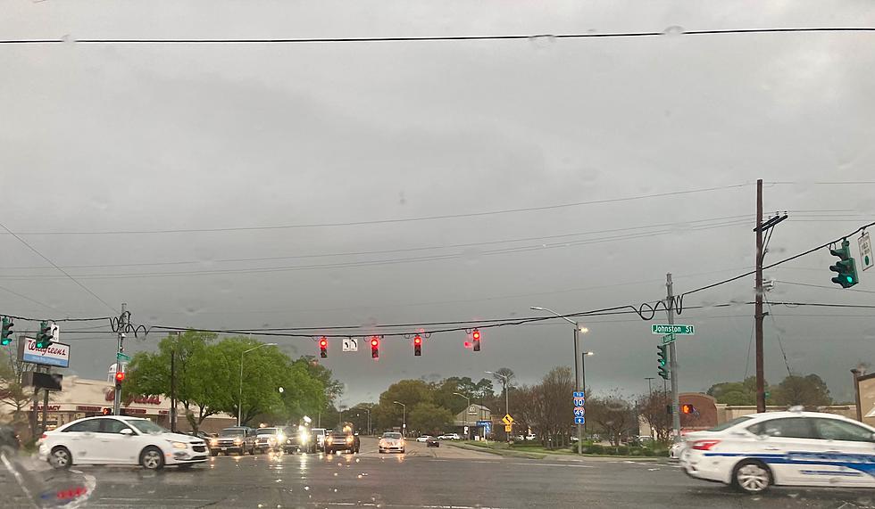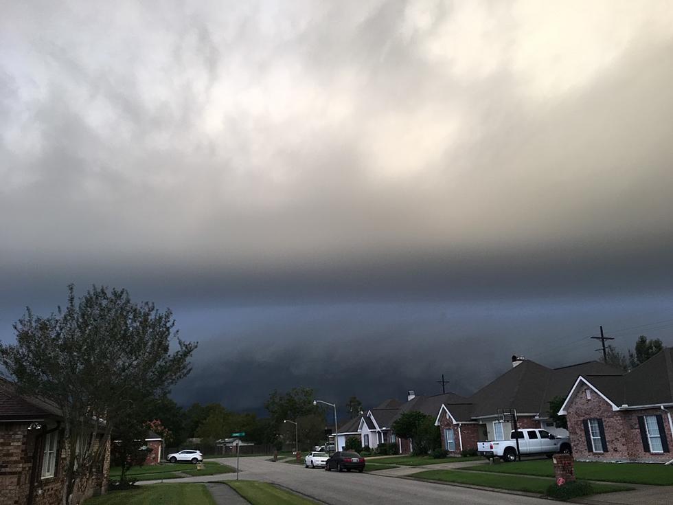
Severe Storms, Deep Freeze : Louisiana’s Ominous Tuesday Outlook
From Shreveport southward to Lake Charles the east along the coast past Holly Beach, Morgan City, and on to New Orleans folks all across Louisiana are exhibiting a little weather anxiety this morning. No, today's not bad at all, but what's coming later today, and especially for the end of the week is what has everyone thinking inside their own heads.
Over the weekend a large part of Louisiana was rocked with heavy thunderstorms, severe weather watches, flooding rains, and gusty damaging winds. Less than a month ago, much of the state was blanketed by several inches of snow, sleet, and freezing rain. So, no it hasn't been a typical Louisiana winter, and today, tonight, and tomorrow's forecast will certainly add fuel to that fire.
The first weather issue the state will deal with today will be a threat of heavy downpours and potentially severe thunderstorms. The Storm Prediction Center has placed Louisiana's I-10 corridor under the gun with a marginal risk of severe storms through early Wednesday morning.
The area of concern is basically along and south of U.S. 190 if you were looking for another landmark to get your bearings. That same portion of the state will also be at risk for an excessive rainfall event. That's the fancy name for "it rained really hard and the drains couldn't keep up".
The Weather Prediction Center monitors those kinds of storms and you'll see they are focusing roughly on the same area of the state that the Storm Prediction Center is.
The obvious question is when will the rain arrive and when will it stop. For the answer to that, we'll turn to KATC Chief Meteorologist Rob Perillo. Rob's forecast and model runs seem to suggest that scattered showers and thunderstorms could start to slide across South Louisiana as early as this afternoon.
That might mean a passing shower or thunderstorm for your carpool pick-up lines and school bus stops. However, the threat of rain will be increasing and is more likely to affect your ride home at 5 pm, than immediately after school. The overnight hours will be the most active for strong storms and heavy rain.
As you can see the time stamp on that run of the HRRR Model from Rob and the KATC Weather Experts suggests the heaviest of the storms will rumble through South Louisiana later this evening or into the early hours of Wednesday.
If you do have plans to be out late or up early on Wednesday, do anticipate some very heavy downpours and the possibility of some ponding of water on roadways, especially the lower-lying areas of those roadways. Some forecast models project rainfall amounts of two to three inches with heavier amounts near the stronger storms.
The colder temperatures will begin blowing in once the rain blows out. Tomorrow's forecast will include sunshine but it will be quite windy for Wednesday. The forecast low for Wednesday morning is 41 degrees. The afternoon high on Wednesday is only 50, so the temperatures will not warm up that much, in fact, it will be getting colder.
The temperature table above from the Lake Charles forecast office of the National Weather Service gives you an idea of when the coldest weather will be arriving where you live and how long it's going to stay.
There will be many locations across central and southern portions of Louisiana that will remain at or below freezing for several hours. This could exacerbate plumbing issues or cause issues with home heating as well. But at least it will make the hot chocolate taste better, don't you think?
Forecasters do anticipate a warming trend later in the week. That will happen ahead of the next projected storm system will could affect South Louisiana on Saturday.
LOOK: 15 formerly popular foods in America that are rarely eaten today
Gallery Credit: Stacker
More From 97.3 The Dawg


