

Severe Storms Saturday: Louisiana Mardi Gras Parades Affected?
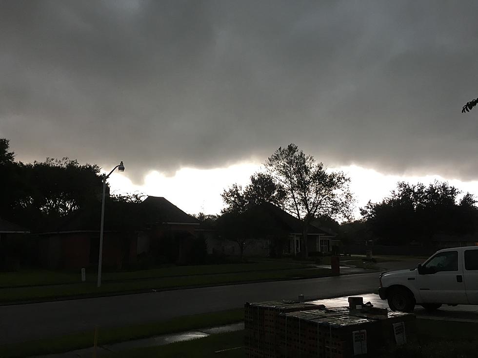
From Shreveport to Alexandria and southward to Lafayette, Baton Rouge, and New Orleans, almost all of Louisiana was under the gun for severe storms and flooding rains during the day on Wednesday. While much of the southern half of the state was under a tornado watch for a large portion of Wednesday afternoon it does not appear as if the strong storms materialized in Louisiana.
That was not the case for neighboring Mississippi where several funnel clouds and tornadoes were spotted and did touch down. Officials in that state will be assessing the damage this morning. Meanwhile, in Louisiana, clear skies and cooler temperatures will be the rule for today and part of Friday. Then on Saturday, things start to take an ominous turn.

The Storm Prediction Center is suggesting that a threat of thunderstorms will enter Louisiana late in the day on Friday and by Saturday that threat should encompass almost all of the state. As of now, the focus on where the strongest storms might occur appears to be in central and northeastern Louisiana, but almost all of Louisiana will be at risk at some point on Saturday.

There is a full complement of Mardi Gras Parades and events planned for Saturday. Depending on when that parade or event is scheduled to take place might determine if the event will go off as scheduled, be postponed, or be canceled. Here's what the National Weather Service is saying about when to expect the worst of Saturday's storms.

The above timeline graphic is courtesy of the National Weather Service Forecast Office in Lake Charles. As you can see, forecasters bring the threat of storms into southwestern Louisiana by late Saturday morning. That threat will slowly move eastward as the day progresses.

Although the timing on the forecast is not absolute by any means this far out, there is a reasonable expectation that rain and possibly thunderstorms could begin in portions of Acadiana by noon, or even earlier. The forecast modeling suggests the heaviest of the storms will move across the state from west to east between noon and midnight Saturday night.
We should have better information on when computer model runs are completed later today. That should give you a better idea of when the worst of the weather is expected in your area.
LOOK: 50 cozy towns to visit this winter
Gallery Credit: Laura Ratliff
More From 97.3 The Dawg


