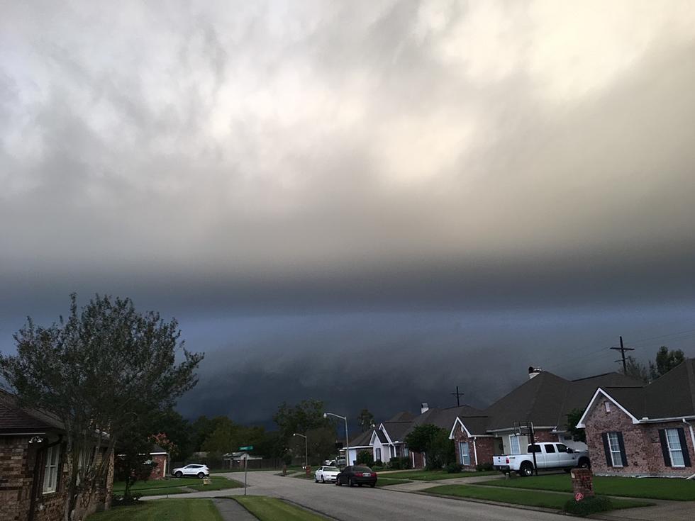
Severe Weather Expected Sunday In South Louisiana
It is very seldom that the criterion the Storm Prediction Center uses to predict outbreaks of severe weather reach the "moderate" threshold. However, that is the case for much of South Louisiana for Sunday.
This means that our chances for severe weather will be greatly enhanced from the middle part of Sunday morning through the evening hours and into early Monday. There is a great likelihood that severe weather watches and warnings will be posted for the area at some time during the day on Sunday.
The SPC defines a moderate threat of severe weather like this.
Moderate risk - An area where widespread severe weather with several tornadoes and/or numerous severe thunderstorms is likely, some of which should be intense. This risk is usually reserved for days with several supercells producing intense tornadoes and/or very large hail, or an intense squall line with widespread damaging winds.
In layman's terms. It's gonna rain! It most likely will rain very hard and those heavy downpours could result in flash flooding across parts of the area.
There is also a significant risk of strong gusty straight line winds and the potential for rotating thunderstorms that could develop into tornadoes.
A low-pressure system moving eastward out of extreme west Texas is expected to generate strong southerly breezes. These winds will bring an abundance of warm moist air from the Gulf of Mexico over Louisiana. The instability in the atmosphere fostered by this warm air will interact with strong upper-level winds that change direction with altitude.
This instability, difluence, and lift will be the catalyst for the strong storms and possible tornadic outbreak from midday Sunday through early Monday morning.
More From 97.3 The Dawg

