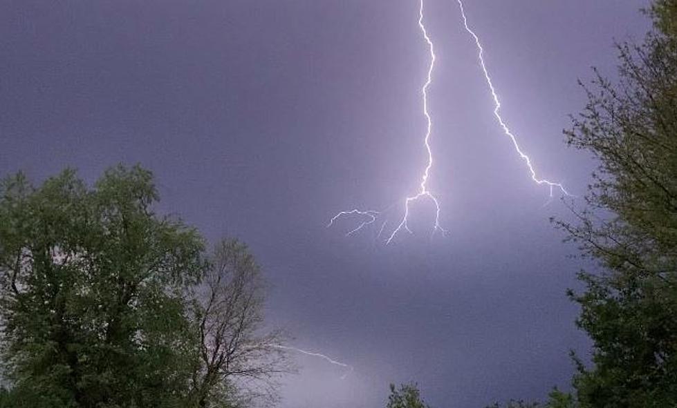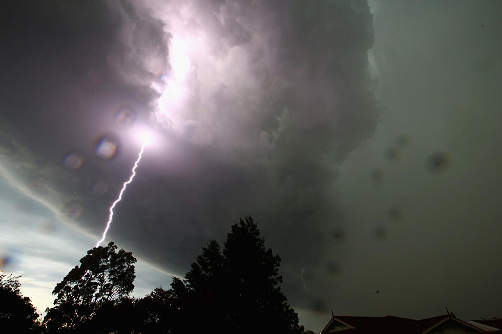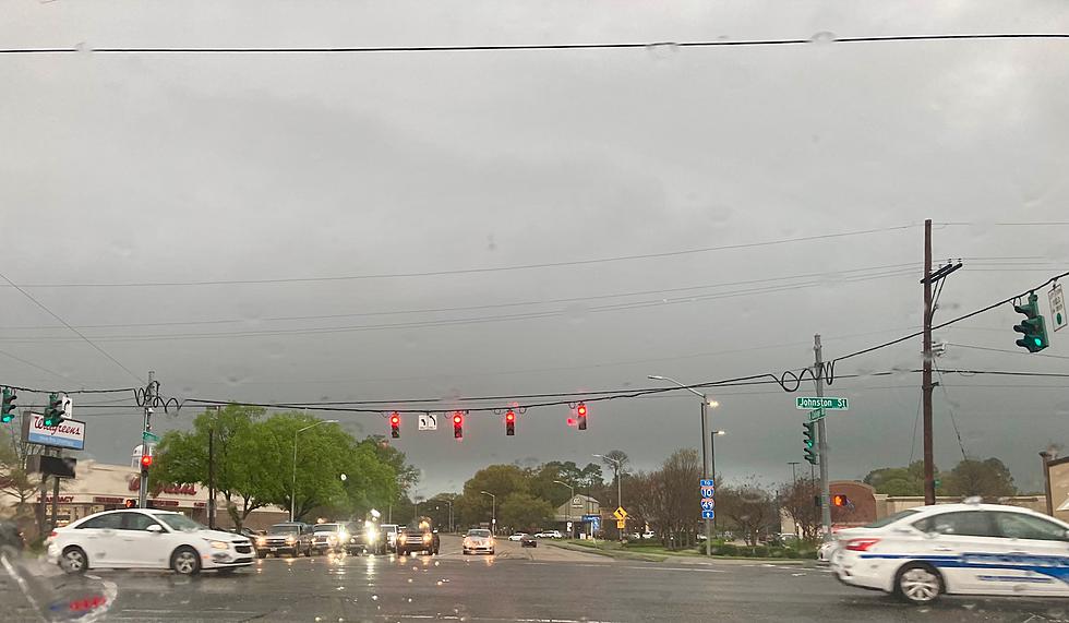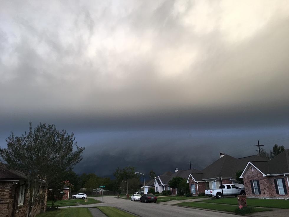
Severe Weather Threat Possible Across Acadiana Tuesday
It is the time of year when cold fronts tend to line up and march across the country about every three days or so. Our last threat of severe weather in the area was forecast for Saturday so the fact that the Storm Prediction Center has placed all of Acadiana in the marginal risk zone for strong storms on Tuesday is not really a surprise.
The catalyst for the potential severe weather outbreak is two-fold. A mid-level disturbance in the atmosphere is expected to move from northern Mexico into the Gulf States on Tuesday. It will be accompanied by a warm front. This energy will exacerbate instability in the atmosphere and could result in strong to severe storms ahead of the system.
Forecasters say rain chances will be elevated for Tuesday to about 60% coverage. The rain chances diminish on Wednesday but will be back up to the 60% range again by Thursday.
The outlook for the long Mardi Gras weekend calls for a chance of showers on Friday. Only scattered showers forecast for Saturday and Sunday. The forecast for Lundi Gras and Mardi Gras calls for a mix of clouds and sun, cool temperatures, and only a slight risk of showers.
More From 97.3 The Dawg


