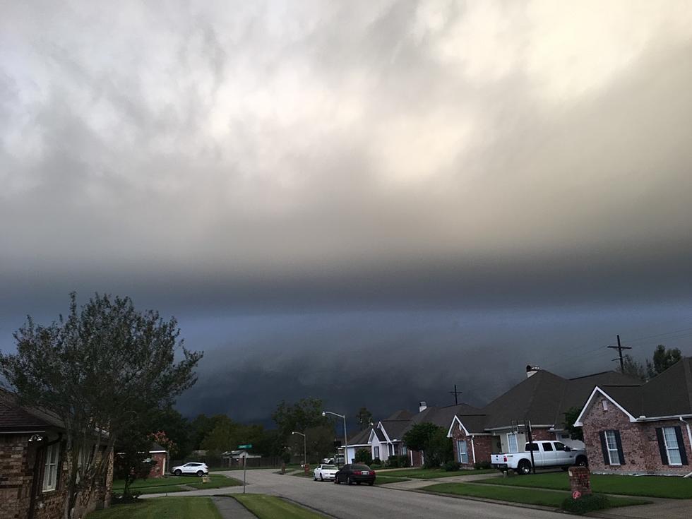
Strong Storms Severe Threat Possible for Acadiana Today
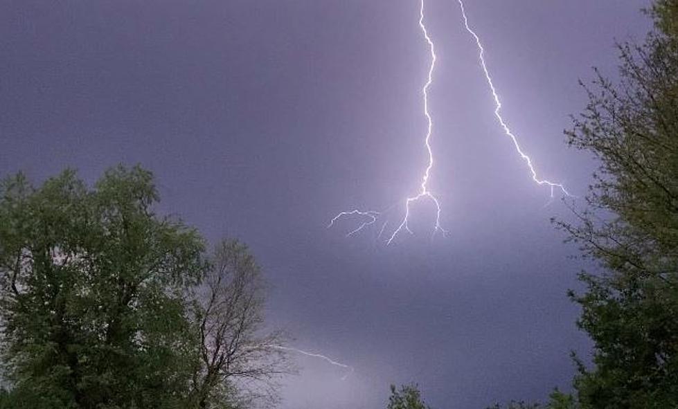
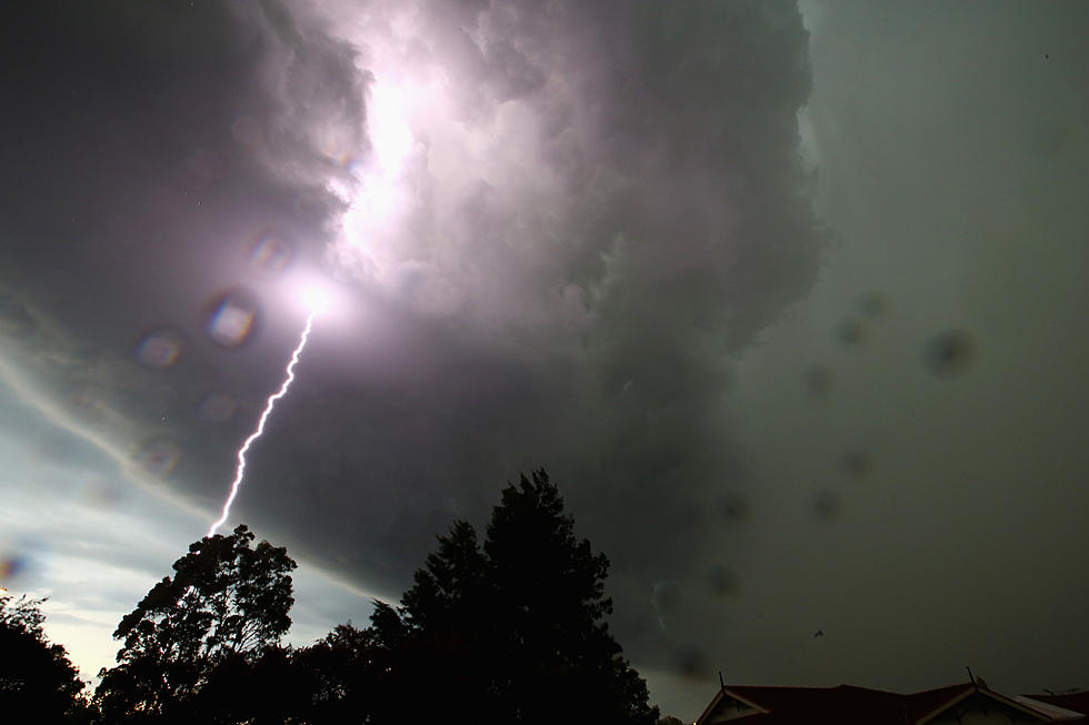
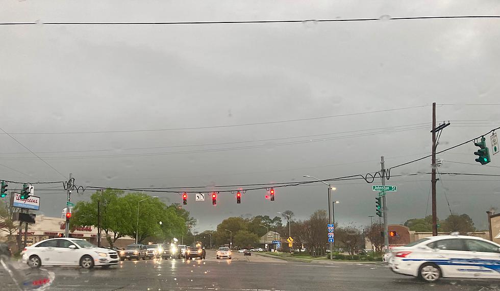
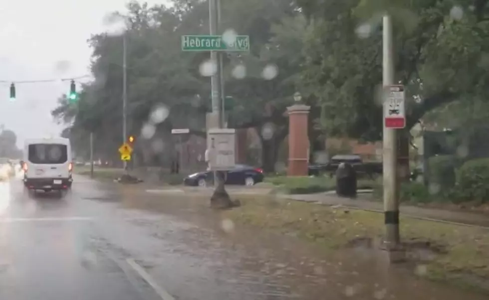
Acadiana's next cold front will be moving through the area later today. The approaching storm system is expected to kick off strong storms, heavy showers, and there is a threat of severe weather in the area too.
Early this morning the frontal boundary was located just to the north and west of Louisiana but should be entering the state over the next several hours. Ahead of the front, the Storm Prediction Center placed much of the state in the "slight risk" category for severe storms. It does appear as though there is a great threat for severe storms and tornadoes in northern Louisiana as opposed to the area along and south of I-10.
Forecasters believe Acadiana will be under its greatest threat for strong to severe storms from late this morning until the early evening hours. Several of the forecast models suggest that the front will push through the heart of Acadiana just after the noon hour.
The frontal passage will be accompanied by showers, heavy rain, and maybe a thunderstorm or two. This will be followed by gusty breezes and cooler temperatures later in the day.
Skies should clear during the night time hours and the forecast for Tuesday and Wednesday appear to be spectacular. We'll just have to get through the bumpy beginning of the workweek to enjoy it.
More From 97.3 The Dawg

