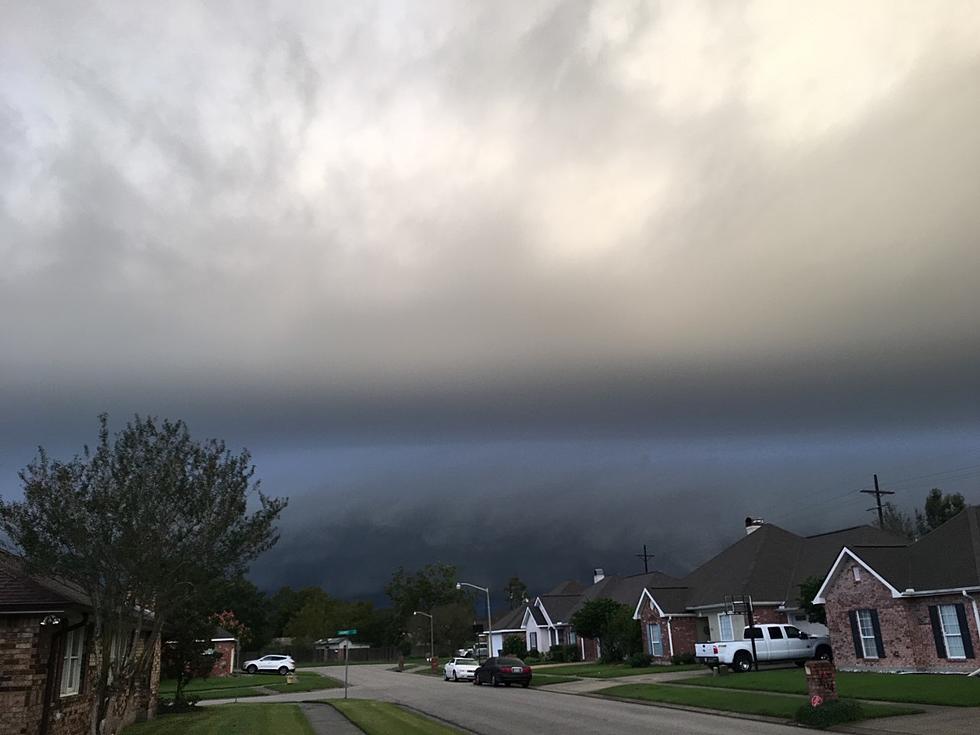
Timing Louisiana’s Storm Threat Today and Tonight
The Storm Prediction Center's forecast should have Louisiana residents weather aware from later this afternoon through the early morning hours of Saturday. A vigorous low-pressure system will be spinning this way out of the four corners area over the next 24 to 48 hours and that weather system could kick up quite a few showers and storms across the region.
As of now, the Storm Prediction Center has most of southwest and south central Louisiana in the marginal to very low risk for severe storms during the day today. But, by Saturday that risk will increase across Acadiana and actually become more likely the further east you travel. In other words, the bulk of the heavier showers and storms should happen Saturday from Baton Rouge eastward.
The National Weather Service Office in Lake Charles is suggesting that showers and storms will be scattered during the early hours of Friday but by mid-afternoon, we should start to see thunderstorms approaching the area. Those storms will rumble across the state from west to east and should clear the area by midday on Saturday.
The National Weather Service forecast calls for a tenth to a quarter of an inch of rain this afternoon. However, rainfall totals could increase significantly in the nighttime and overnight hours. When all is said in done some locales will see more than an inch of rain.
As you can see, Rob Perillo with KATC Television is in pretty close agreement with the National Weather Service prognostication. The GRAF model brings showers into south Louisiana after lunch and the heavier showers much later Friday night and early Saturday.
By the way, conditions should be great for Trick or Treating on Monday. There will be a mix of clouds and sun and the afternoon high temperature will be 74.
Don't Ever Put These Things in the Microwave
More From 97.3 The Dawg

