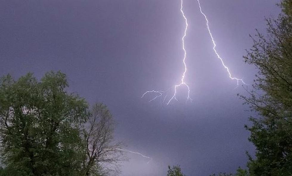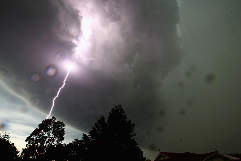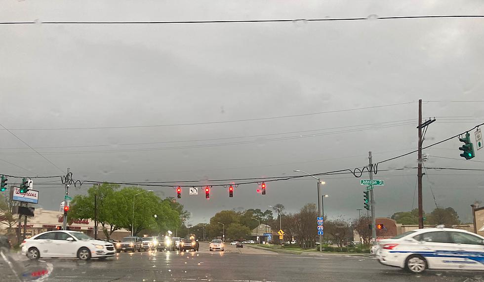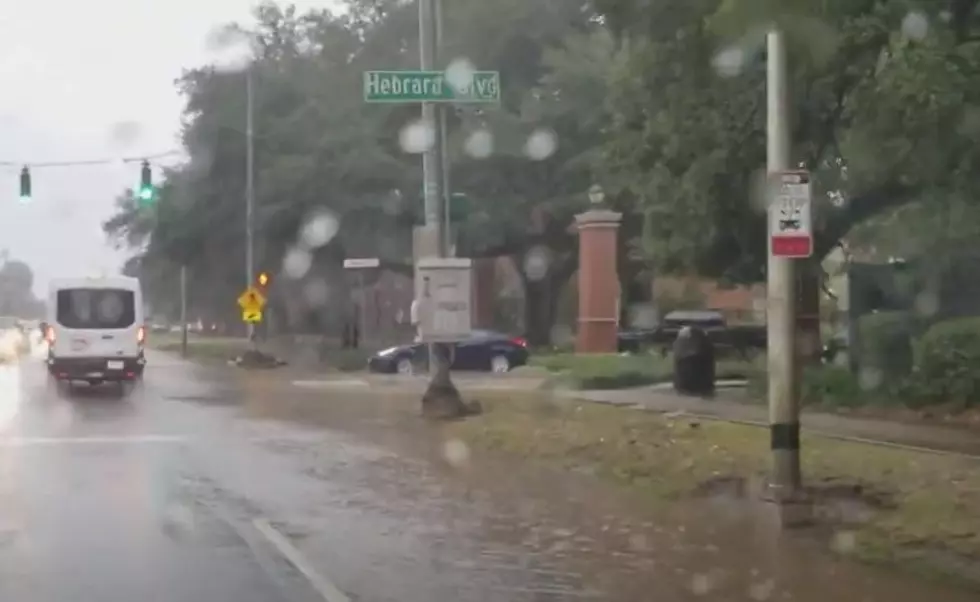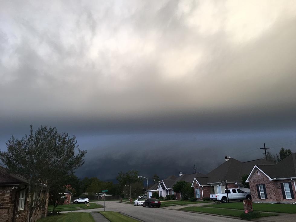
Timing Saturday’s Storms In South Louisiana
This is not the time of year we need to have yet another wet weekend. Unfortunately, Mother Nature doesn't care about all of the fun outside activities we have planned for the weekend. She's more concerned with balance. Right now the balance of nature is shifting between Winter and Spring and that usually means severe weather.
The Storm Prediction Center has placed all of Louisiana under at-risk for strong storms, damaging winds, and even tornadoes on Saturday. The greatest threat for strong storms will be along I-20 in North Louisiana. That part of the state is under a moderate risk according to the SPC.
Further to the South along I-10 we still remain in the slight risk zone. Which means severe storms could happen but it's more likely the heaviest storms will be to our north.
So, when can we expect this weather system to move through?
Well, this morning National Weather Service Radar is showing a line of showers and storms associated with a different weather system. This line of showers should gradually move through and things will improve for the middle of the day.
Here's what the European Weather Model is suggesting for 6 PM on Saturday night.
Forecasters predict another round of showers for late this afternoon, but that's still not exactly tied into the severe weather maker. That system should start to affect the area afternoon on Saturday. It looks like Acadiana's best chance for strong storms will come late Saturday afternoon into the nighttime hours.
By Sunday conditions across the region should improve and Sunday, despite a few lingering showers in the morning should allow for more outside activities without the threat of storms.
More From 97.3 The Dawg

