Tropical Trouble Brewing Off Louisiana Coast Later This Week
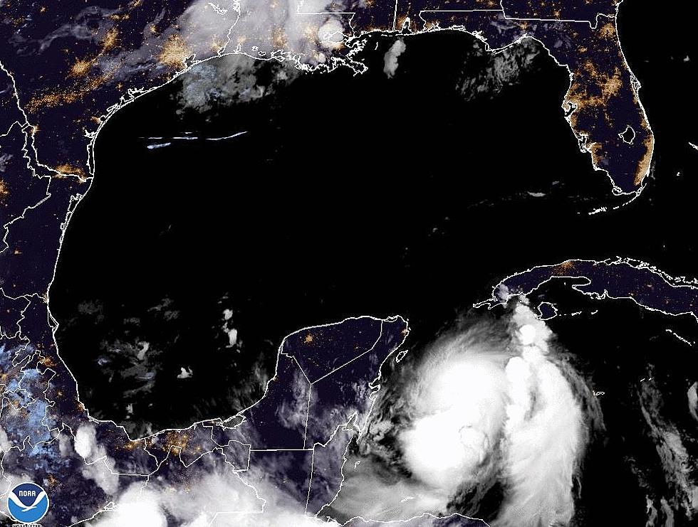
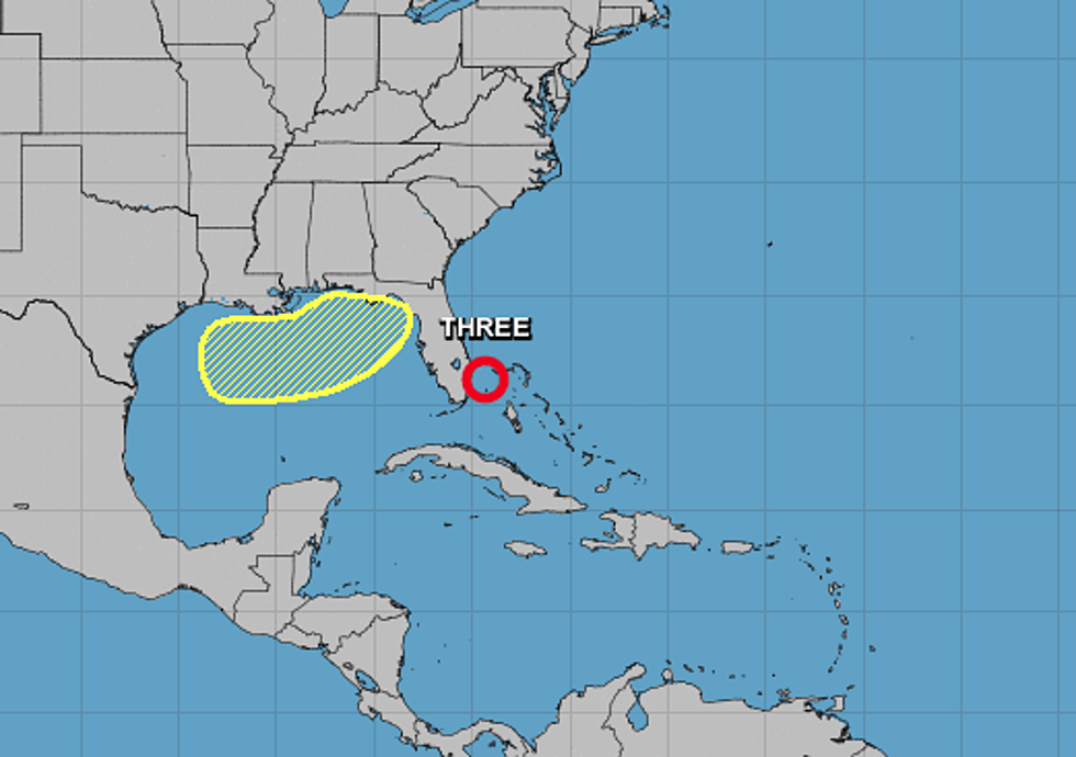
Last night forecasters with the National Hurricane Center designated an area of low pressure off the east coast of Florida as Tropical Depression #3. What's surprising about this is that earlier forecasts suggested the system would struggle to acquire tropical cyclone characteristics.
That proved to be not the case.
The good news with TD #3 is that further development is not expected over the next few days as the system stays just to the east of the Florida coast and then is pushed off to the north and east away from land later in the week.
The catalyst pushing the system out to sea could be a good news/ bad news scenario for the northern Gulf of Mexico. That catalyst is a rare July cold front. It is expected to move through Louisiana and into the coastal waters during the day today. That system should bring some nicer weather to the area but could also be the reason for tropical concern.
Forecasters believe that once the frontal system moves into the Gulf a non-tropical low could form along the frontal boundary. Given the expected atmospheric conditions of the region and the very warm Gulf waters that non-tropical low could acquire tropical characteristics and develop into a tropical cyclone by late this week.
Currently, forecasters suggest this yet to form area of disturbed weather will have a 20% probability of becoming a tropical depression or tropical storm before Saturday. Of course, this a forecast concerning conditions that have yet to develop. Still, it's a good idea to keep a watchful eye to the south and be ready should conditions warrant action on your part.
More From 97.3 The Dawg


