What’s the Flood Risk for Your Louisiana Parish? Use These Maps
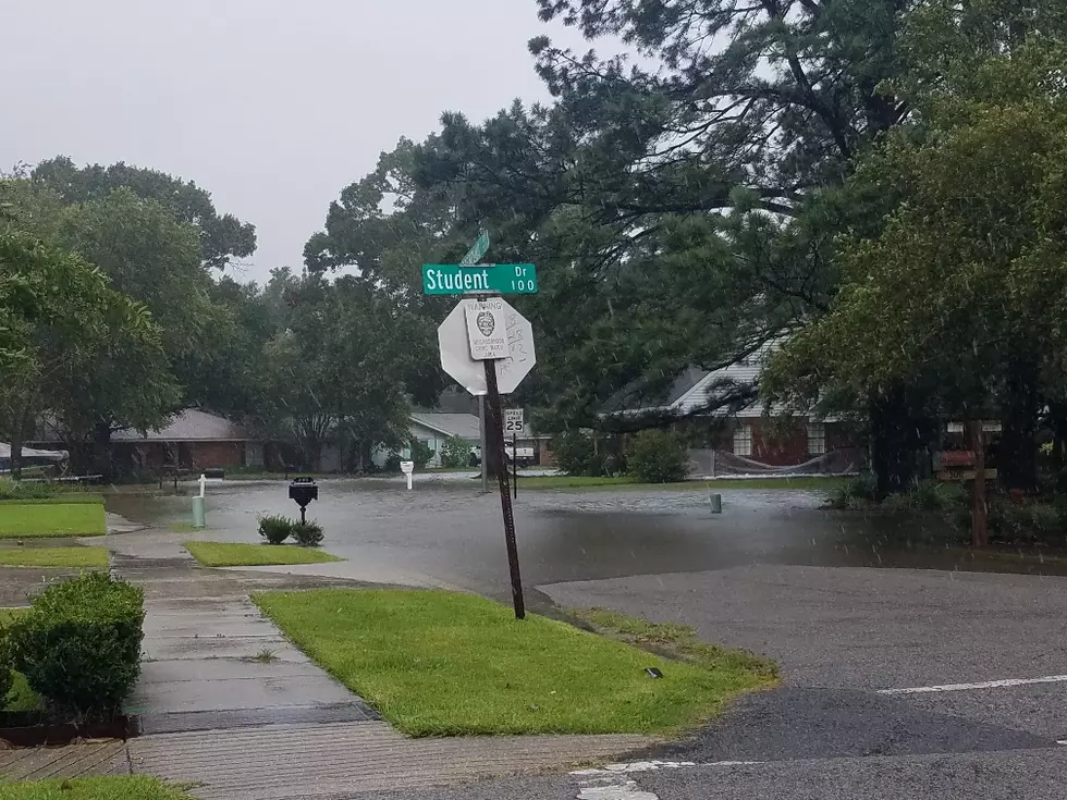
The threat of tropical downpours across Acadia, Iberia, Lafayette, St. Martin, St. Mary, Vermilion, and host of other Louisiana parishes over the next few days has many people across the state on edge. No, we aren't as concerned about a landfilling tropical system, although we could see one this week, as we are about the potential flooding rains a system in the Gulf of Mexico can bring to Louisiana.
Most of us do not know if we live in a low-lying area until we see the rising water. There's an old joke that suggests if you want to know if you live in an area that floods you should check your driver's license. If it says "Louisiana" then you're at risk for flooding. While that's basically true, it's not very helpful when you really want to know "What's the risk for where I live"?
The LSU AgCenter has created an interactive site that allows you to view Louisiana's Flood Maps. The maps also use data from Louisiana's Department of Transportation and Development to paint a general picture of where the most flood-prone areas of our state or your parish happen to be.
There is a disclaimer that you should be aware of if you choose to use the information from this interactive map. Make sure you read it before making any decisions about insurance coverage, claims, or decisions to protect life and property.
The site allows you to find the flood risk for your home or business address and see how that risk has changed over time. The map also allows you to view 100-year flood estimates for a specific address. Again, this is not "official information" but it is information based on official sources so what you will see is credible, but you'll want to explore more data before filing an insurance claim or seeking relief from damages in the event you do have high water.
The Louisiana Flood Maps site allows you to enter your specific parish and then zoom into to a specific address within that parish. By reading the map legend you can see what the flooding potential might be for where you live and work. You might also take a look at the routes that you normally drive to and from work each day. This could help you determine an alternate route should weather conditions make that necessary.
If you click "the Legend Key" at the top of the map it will explain what the stripes and the different colors mean. That should aid you in your understanding of what the particular threat for your area might be.
Flood Maps are available for all of Louisiana's 62 Parishes and can be accessed via this link. Again, use this for informational purposes only and please use common sense in any high-water situation especially if you're in your car or truck. If you don't know how high the water is that you're contemplating driving through, then don't. There's a reason why they say "Turn Around, Don't Drown" because people do.
10 Most Dangerous Cities in Louisiana
More From 97.3 The Dawg