Lafayette Weather – More Storms On The Way
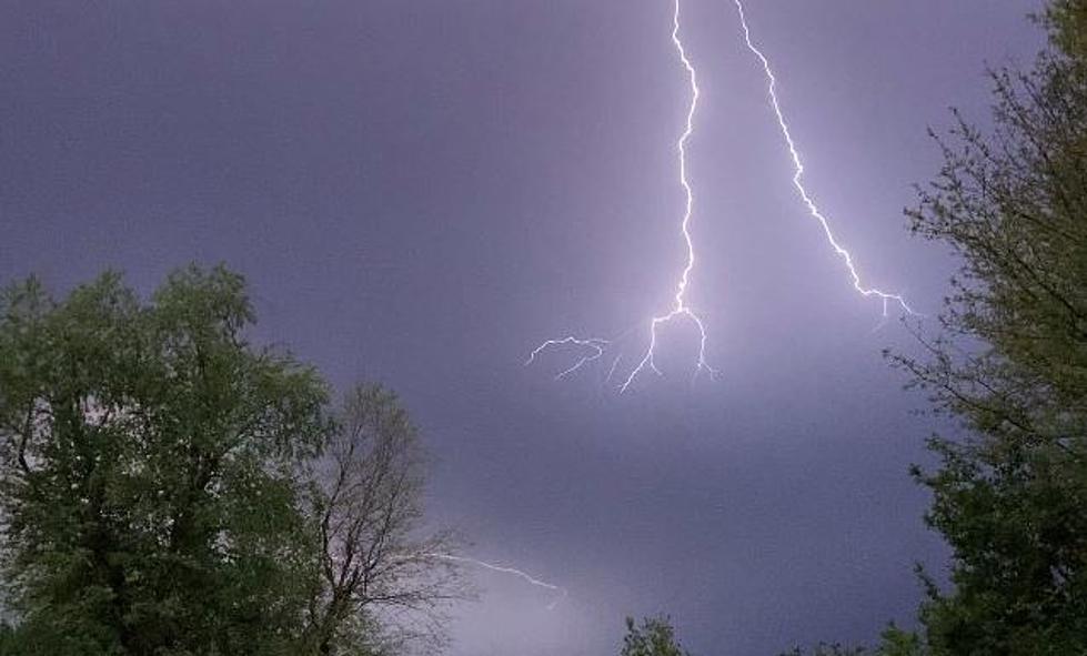
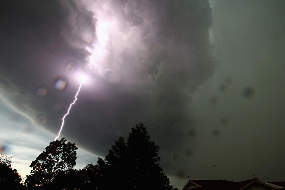
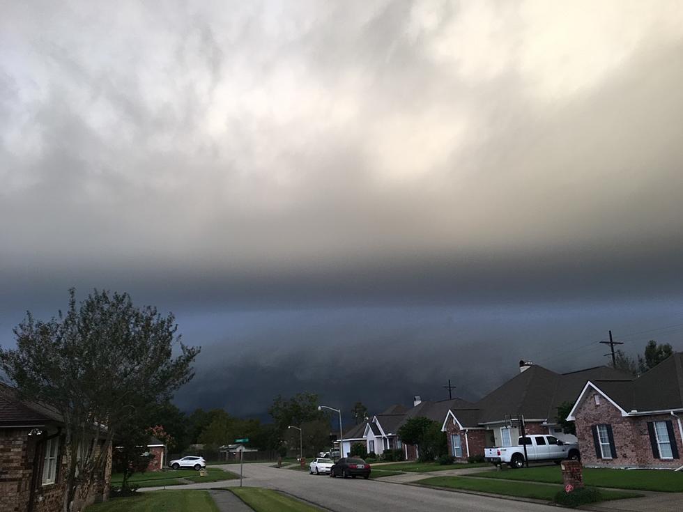
If you liked Tuesday or Wednesday's line of storms with heavy rain, high winds, and thunder you are in luck because Mother Nature could be doing a late Spring rerun. As of 4 am a line of very heavy thunderstorms, some of them severe was stretched across the state of Texas from the Dallas area to south of San Antonio. This line of storms was moving toward Acadiana.
Based on the current speed the weather system that is already affecting the Dallas/Ft. Worth area should be entering into the Houston area by 6am. This might mean a disruption or delay in flights from Lafayette to Houston or even Dallas because of weather so check with your carrier before you head to the airport.
This line of storms has had severe weather warnings associated with it. The Storm Prediction Center is keeping a slight risk of severe weather in Texas but not bringing that into Louisiana.
I just spoke to Dave Baker at KATC TV 3 and Dave's thinking is the line of thunderstorms will lose some of its punch by the time it crosses the Sabine River this morning.We might start to see some of the showers in the area toward the middle of the morning hours. However that left over energy from this system will fire up a significant threat of showers and storms by the afternoon.
Dave's forecast for the weekend is calling for a 50% chance of showers and thunderstorms today. That increases to a 60% chance of more rain tomorrow. For Sunday expect a mix of clouds and sun and a 40% chance of rain.
More From 97.3 The Dawg

