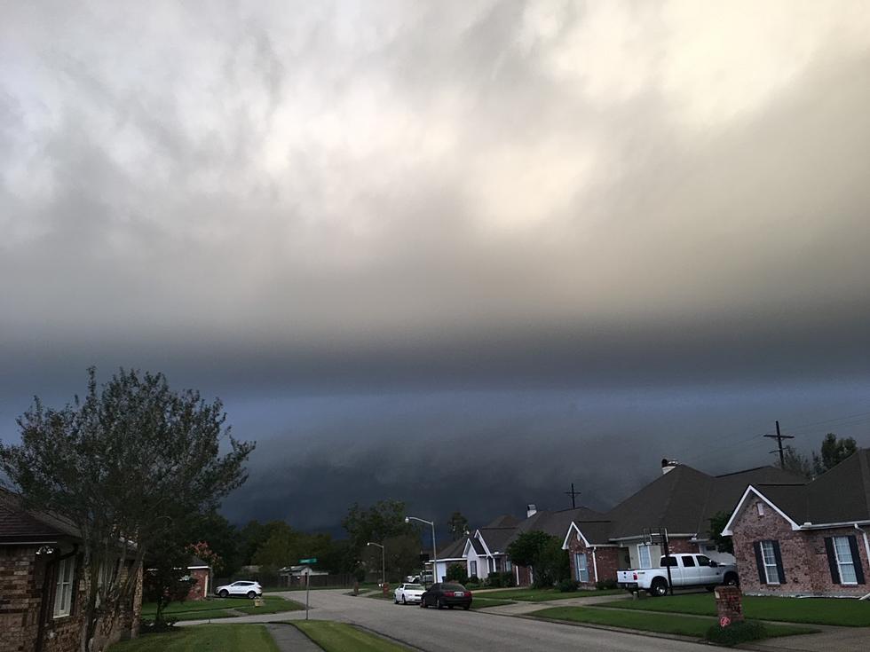
Lafayette Weather – Storms Expected Today
A short wave of energy in the atmosphere associated with a weakening frontal boundary is slowly making its way toward Acadiana and the results could be mildly explosive later today.
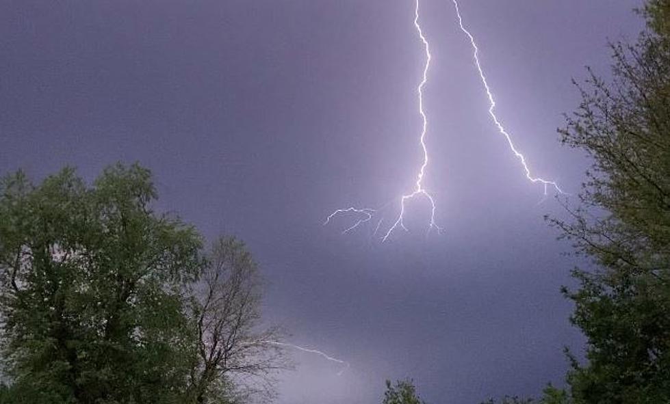
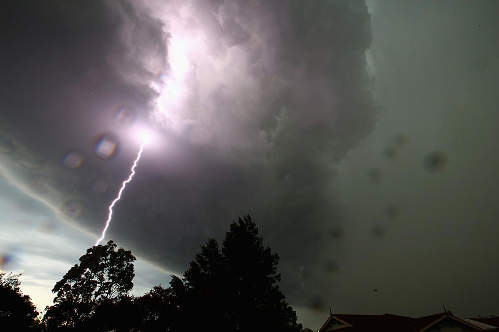
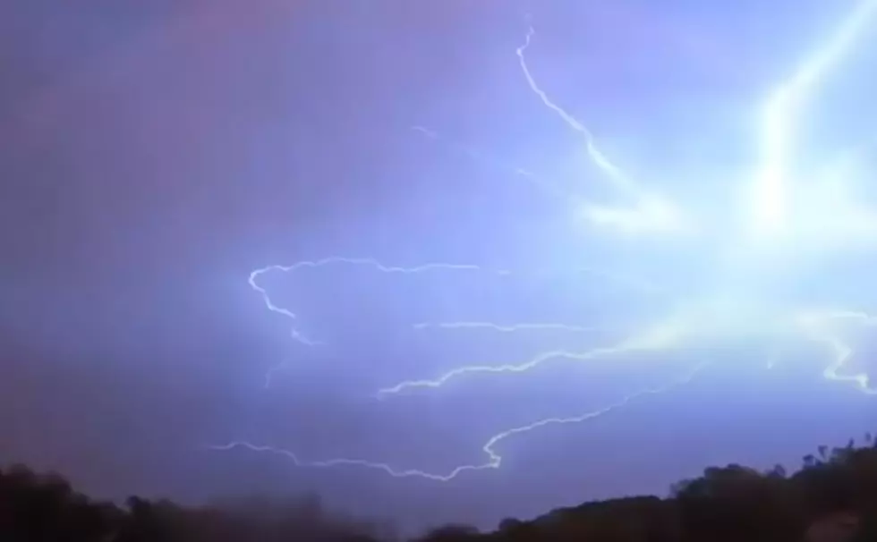
The current radar scan from the National Weather Service in Lake Charles shows many part of Acadiana are already hearing the rumble of thunder and seeing flashes of lightning.
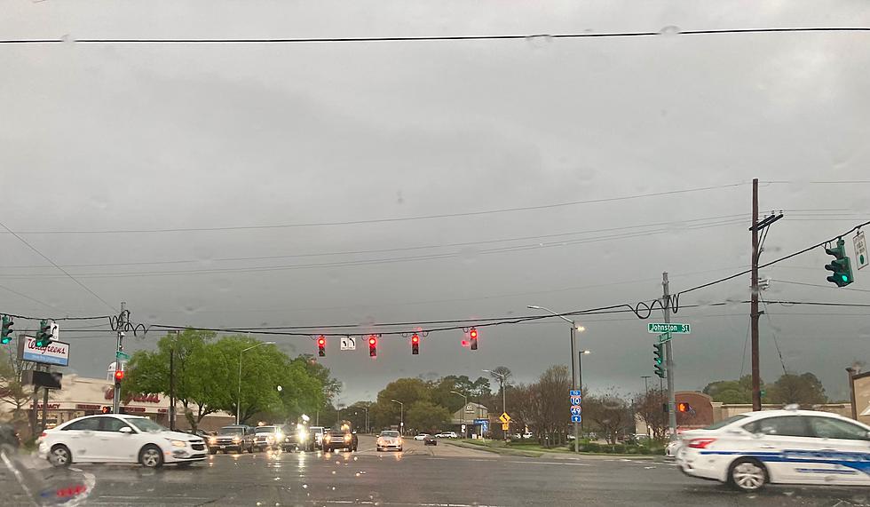
The Storm Prediction Center does not forecast any of these thunderstorms to reach severe limits during the day today. However, very heavy downpours, strong gusty winds, frequent lightning and some hail could be possible during the course of some of the stronger storms.
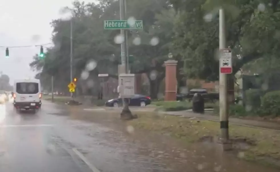
Rob Perillo from KATC TV 3's Storm Team Weather Lab is forecasting rainfall potential over the next 24 hours to be as much as an inch and three quarters in some sections of Acadiana. Perrillo says the slow movement of this system will be the major factor in just how much rain a particular area might receive.
The outlook for Wednesday is much improved with the weakening frontal system pushing off to the east and rain chances returning to more seasonable for this time of year. The outlook for the rest of the work week according to Dave Baker is a mix of clouds and sun during the day with some afternoon showers and thunderstorms possible each day.
More From 97.3 The Dawg
