Entire State of Louisiana at Risk for Tornadoes, Severe Storms
If you live in Louisiana the next 48 hours could get rather interesting as far as the weather forecast is concerned. The Storm Prediction Center has the cities of Shreveport, Ruston, and the rest of the I-20 corridor at risk later today and tonight.
That risk of severe storms spreads statewide on Thursday and will include the cities of Alexandria, Lafayette, Lake Charles, Baton Rouge, and New Orleans. The greater threat for stronger storms and heavier rainfall totals does appear to stay north of I-10.
Here is how the Storm Prediction Center has it broken down. Below is a graphic of today, Wednesday, May 8, 2024, severe weather threats.
Here is how the dynamics and the potential threat for severe storms change across the state for Thursday's forecast.
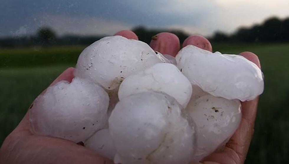
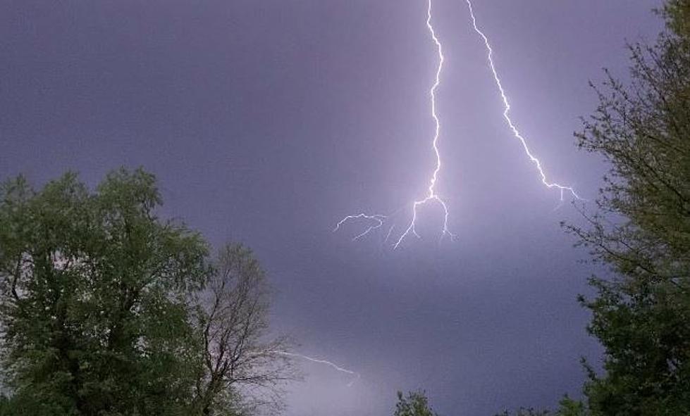
That means that over the next two days, some 4.59 million people in Louisiana will be at risk for damaging winds, small hail, frequent lightning, and possible tornadoes. Granted, it is spring and that is when much of the Gulf South gets its most volatile weather. But did you know that Louisiana actually gets more tornadoes in November than any other month?
April is the month where The Boot experiences the next most tornadoes and May is also a busy month for storms across the state too. Along with the threat of severe storms and tornadoes, the next two days will also bring a threat of flooding to Louisiana as well.
The graphic above from the National Weather Service Forecast Office in Lake Charles suggests a marginal threat of an "excessive rainfall event" from I-10 northward to the Alexandria area. From Alexandria northward through the I-20 corridor into southern Arkansas the risk of an excessive rainfall event is elevated to slight.
The catalyst for all of this inclement weather in our forecast is a frontal system and associated low-pressure systems currently centered over the Great Plains. This system will slowly migrate eastward and will bisect Louisiana during the day on Friday.
The interesting aspect of this forecast is that rain chances along and south of I-10 are minimal according to several forecast sources. The rain chances and the threat of stronger storms do increase the further north you travel. And it does appear as though the heaviest weather for most of the state will happen in the overnight hours of Thursday into early Friday morning.
Top 15 Most Famous Celebrities from Louisiana
More From 97.3 The Dawg


