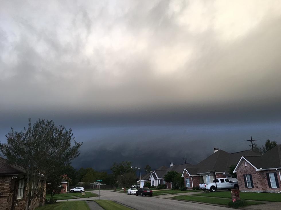
Excessive Rainfall Possible Today in Southwest Louisiana
Southwest Louisiana residents should be aware that the forecast for the region today calls for the possibility of excessive rainfall. The enhanced rain threat is being blamed on an abundance of Gulf of Mexico moisture which is being pulled onshore by a tropical weather system that has been spinning just off the Texas coast for most of this week.
As you can see in the graphic created by the National Weather Service Forecast Office in Lake Charles, the threat of "excessive rainfall" is listed as slight from the greater Houston Texas area eastward through Lake Charles and into western sections of Lafayette Parish. For the most part, the best chance for significant rainfall is west of I-49 and south of US 28 which runs through central Louisiana.
What Does Excessive Rainfall Mean?
There is actually more to it than "it's going to rain a lot". Excessive Rain is the volume of rainfall available for direct surface runoff. It is equal to the total amount of rainfall minus all abstractions including interception, depression storage, and infiltration. That definition is courtesy of the Glossary of the American Meteorological Society.
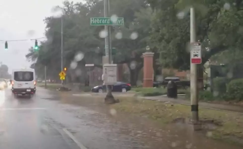
In layman's terms, excessive rainfall looks at how much rain could fall in a given area and that given area's ability to drain that rainfall, again that's an oversimplified definition of the issue. In other words, will it rain so much in a short period of time that drainage systems could be overloaded or inundated? If you live in Lafayette, think Ambassador Caffery Parkway after a heavy downpour.
The Weather Service forecast suggests that many areas of south Louisiana could see rainfall amounts of one to two inches. The trouble is that "one to two inches" could come all at once, that's where the problem will occur if, in fact, it does.
Bradley Benoit one of the four on-staff meteorologists at KATC Television posted these graphic representations of two rainfall projection models on the TV station website on Thursday. First is the HRRR Model.
This model projection, not an official forecast, suggests that Lafayette could see up to four inches of rainfall over the next two days. Those totals get higher the further west you go and also the closer to the coast you get.
Meanwhile, the GRAF Model rainfall projections suggest storm totals that are slightly higher, even for parishes that are further to the east of Lafayette.
The GRAF Model, again not an official forecast, suggests that cities like New Iberia could see over ten inches of rain before the weather system clears the area by later this weekend.
The bottom line is simply this. It will likely rain on you if you live north of the Gulf of Mexico and west of the Atchafalaya Basin. How much rainfall your specific location will get will vary widely from place to place. You should prepare for sudden downpours and rejoice if you only get enough rain to settle the dust and water your yard.
The good news is that by Monday, Independence Day we should be back into our normal summertime pattern of only widely scattered showers and storms during the late afternoon and early evening hours.
In other words, the weather is going to be perfect for eating watermelon under the carport or beneath the covered patio today. Here's how to make sure you've got the best one for your family.
8 Easy Tricks to Picking the Sweetest Watermelons
More From 97.3 The Dawg

