Florida Keeping A Watchful Eye On Strengthening Tropical Storm
We are almost to the mountain top. If the mountain you happen to be climbing is the 2019 Atlantic Hurricane season. The peak of the season, September 10th, is just two weeks away and Mother Nature is starting to swing her tropical big stick all over the Atlantic.
There are two known entities that are being monitored in the Atlantic Basin right now. There is a third tropical entity that shows up later this weekend and early next week on some of the long-range tropical model runs but we won't worry with that just yet.
Tropical Storm Dorian is currently being monitored by the National Hurricane Center. As of early this morning, the storm was bringing tropical storm conditions to the Leeward Islands on the eastern edge of the Caribbean Sea. Dorian is expected to move across the Leeward Islands and then head toward Puerto Rico or Hispaniola over the next few days.
During that time over the open water, Dorian is expected to reach hurricane status. Forecasters do anticipate Dorian will fall back to tropical storm status as it encounters landmasses when it passes over the islands and less than ideal conditions for strengthening as the system approaches the Bahamas and the coast of Florida later this weekend.
The second entity that the Hurricane Center is watching is Tropical Depression Six. That system is expected to reach tropical storm status by later today. If and when it does it will earn the name Erin. It is expected to move away from the U.S. mainland on a northeastward track that could take the storm over the Canadian Maritime Provinces by this weekend.
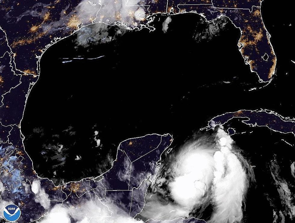
That third tropical entity? It could be a Labor Day Weekend surprise that develops in the southwestern Gulf of Mexico by Sunday. Remember, that's just one model solution and not a forecast but if something does develop or hint that it could develop just remember we and the Old Farmer's Almanac told you about it first.
More From 97.3 The Dawg


