
Humberto Now A Hurricane, Imelda Could Form This Week
We are now officially past the peak of the Atlantic Hurricane Season for 2019. While we may now be headed down the calmer side of the mountain there are still plenty of tropical trouble spots to keep forecasters busy.
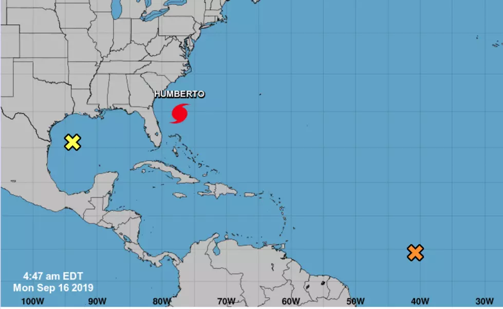
First things first, there is an area of disturbed weather in the Gulf of Mexico that is not expected to strengthen. This area of showers and thunderstorms has been position well south of Louisiana's coastline most of the weekend and should move into the lower Texas coast late tonight or Tuesday.
As of late last night, Humberto was reclassified as a Category 1 Hurricane. Early this morning the system was located about 750 miles west of Bermuda. The storm is expected to grow stronger as it approaches that island nation in the early morning hours of Thursday.
Thousands of miles to the south and east of Humberto is another significant area of disturbed weather. This system is in the middle of the tropical Atlantic and is forecast to strengthen over the next five days. Forecasters with the National Hurricane Center give this system an 80% probability to become a tropical cyclone by the end of the week. Should the system be given a name it would be Imelda, the 9th named storm of the 2019 Hurricane Season.
The track forecast for what could become Imelda does keep the storm well out to sea. At least in the early stages of the forecast, there does not appear to be a significant threat to any major landmass, at least over the next week.
More From 97.3 The Dawg


