
Category 2 Hurricane Possible in the Gulf by Friday
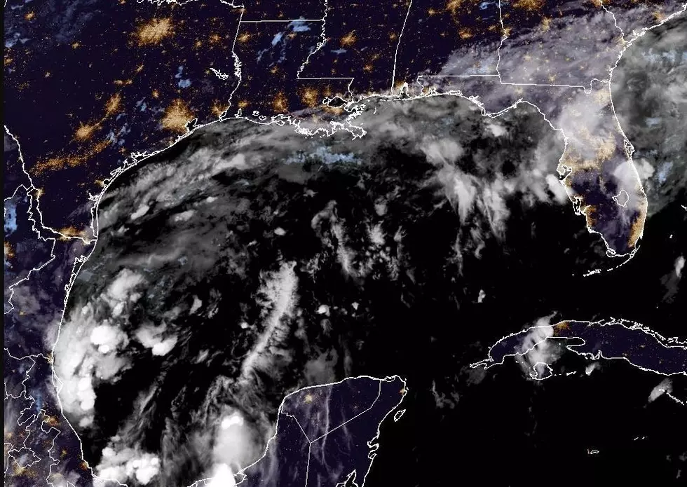
(KMDL-FM) If you read the forecast discussion from the National Hurricane Center, you will see the forecast trend is toward a more powerful storm in the Gulf than first thought. As of the 0400 AM advisory, we now have Tropical Storm Isaias. Then comes the potential for strengthening.

The outlook for Acadiana and Southwest Louisiana is not bad compared to what our friends in southeastern Louisiana and the Mississippi, Alabama, and Florida coasts will likely see because of the storm.
Here is the Latest Forecast Track From the National Hurricane Center

It is important to note that the center of circulation could travel anywhere inside that cone of uncertainty. So, while the current best guess suggests a landfall east of Louisiana, a variance of just a few miles could bring the storm onshore in our state's far eastern parishes.
READ MORE: 20,000 Louisiana Residents Share This Hurricane Name, Is it Yours?
As far as intensity goes, forecasters with the National Hurricane Center believe the system could have maximum sustained winds of 100 mph as it makes landfall. That landfall is currently forecast to be very near the Alabama/Mississippi line sometime Friday evening.
What Do The Spaghetti Models for This Storm Track Look Like?
The spaghetti models are in basic agreement with this track. There are some outlier tracks that do include Acadiana, but the consensus is what is reflected in the Hurricane Center's official forecast.


That intensity could be diminished a bit at landfall because of strong upper-level winds right along the northern Gulf coast. This upper-level wind shear will inhibit the system's ability to strengthen and might weaken it as it moves onshore.

The fact that the upper-level winds will be blowing from west to east also suggests that most of the rain and thunderstorms associated with the tropical system will be pushed off to the east of the storm's center of circulation. That is why rainfall accumulation across Acadiana and Southwest Louisiana is not as robust as first thought as we move into Friday and Saturday.

Earlier this week, forecasters were thinking that the Lafayette area could see several inches of rain because of this system, but the forecast has changed as new information has been made available. Now, that is not saying the area won't see showers and storms from this tropical system.
The current National Weather Service outlook calls for a 50% chance of rain with gusty winds on Friday night, with a threat of showers at 60% for the early part of Saturday. Rain chances and winds should diminish as the day wears on.
READ MORE: Is It Possible for Mankind to Steer a Hurricane?
"Forecast could change" is the key message you need to take away from this narrative and any other weather forecast you engage with. There is still a lot of "wiggle room" in this forecast scenario.
What's There To Do In Acadiana in October? 10 Events,Fairs, Festivals, You Can't Miss
Gallery Credit: Bruce Mikells
More From 97.3 The Dawg