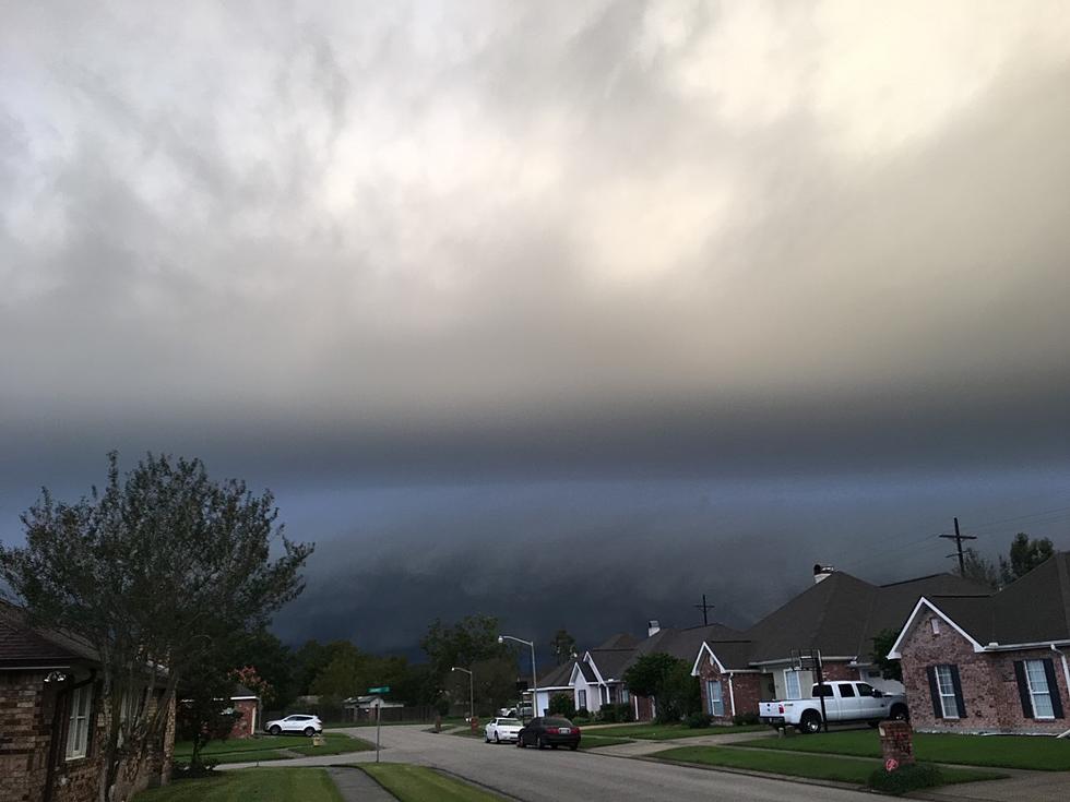
Lafayette Weather – Heavy Rain Threat Returns
Wednesday across Acadiana was nice. Well it wasn't the nicest day we've ever had when it comes to weather but at least it didn't rain. My driveway and patio stayed dry and my yard had a chance to drain. That will not be the case today or tomorrow or even Saturday.
The sub tropical jet stream remains positioned high above Acadiana this morning. This fast moving river of air is going to be energized by an upper level low pressure system that is rolling out of the Rocky Mountains. This new bit of energy will send disturbances along that jet stream for the next couple of days. These bits of energy will interact with Gulf moisture and the threat of heavy rain will once again be a part of the forecast.
Rob Perillo in his post on KATC.com suggested that the best time for showers and thunderstorms will be from the middle to late morning hours through the afternoon.Rob's forecast is predicting that today, Friday and Saturday will hold significant threats of rainfall. The total rainfall over the next three days could be an additional 2-4 inches. That will only exacerbate swollen creeks, coulees, and the Vermilion River which is already at flood stage.
Look for drier conditions to move into the area on Sunday, although that day will still hold a small threat of rain. The forecast for next week looks more conducive to catching up on all that yard work you haven't been able to do these past few days.
More From 97.3 The Dawg

