Lafayette Weather – Stormy Start To Work Week
A stationary front is currently draped across the northern sections of Louisiana. The barrier that is keeping that front out of Acadiana is slowly degrading. A high pressure system that has prevented frontal passage over the weekend will slowly weaken and allow this frontal boundary to drift southward during the day today.
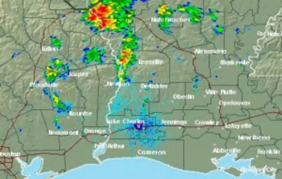
The proximity of the front, instability in the atmosphere, and the abundance of Gulf moisture will provide the area with a significant threat of rain today and tomorrow. The Storm Prediction Center in Norman Oklahoma says none of the thunderstorm activity associated with this weather system should reach severe limits today or tomorrow.
This morning there are showers and thunderstorms poised just north of Acadiana and they will begin to drift slowly southward during the day. Power Doppler HD shows only a few scattered rain showers in the immediate area as of right now.
Rain chances will be better than average over the next 48 hours. A 60% probability of rain will be in the forecast for much of Acadiana today. That probability will be 50% tomorrow. Rain chances will diminish by Wednesday with only minimal chances of showers in the forecast for Thursday and Friday. The Memorial Day holiday weekend appears to be quite seasonal with high temperatures near 90
More From 97.3 The Dawg