Louisiana Bracing for Multiple Winter Storms – What to Expect
The forecast for New Orleans, Louisiana where they are hosting a major sports-related theatrical event is almost 80 degrees today. A few miles away in Baton Rouge, sunshine and about the same afternoon temperature is what the forecast is calling for.
In Shreveport, in Louisiana's extreme northwest, the afternoon high is only forecast to be in the upper 50s. That should be what my 11th-grade literature teacher would call "foreboding".
If you recall the winter weather event of just a week or so ago you are a witness to just how fast and how drastically the weather conditions across Louisiana can change, especially this time of year. We say that to say this, if you were hoping for snuggling weather for Valentine's Day, you're probably going to want to kiss inside because doing that outside could lead to some serious chapped lips.
The above graphic from the National Weather Service Forecast Office in Shreveport suggests the next cold snap will be the first of many cold snaps that Louisiana will experience over the remaining weeks of February.
Naturally, the big question those of us along I-10 will have, since we are all now "snow experts" is this, will we get more snow? Will we get ice? Will this be out of here by the time Mardi Gras rolls around? The answers, at least right now, are "probably not", "probably not", and " too early to say".
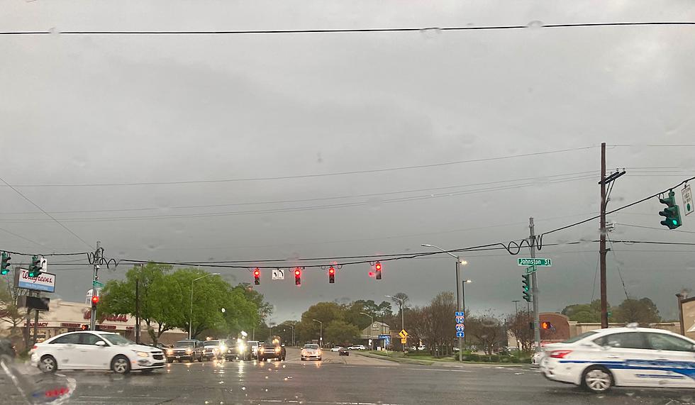
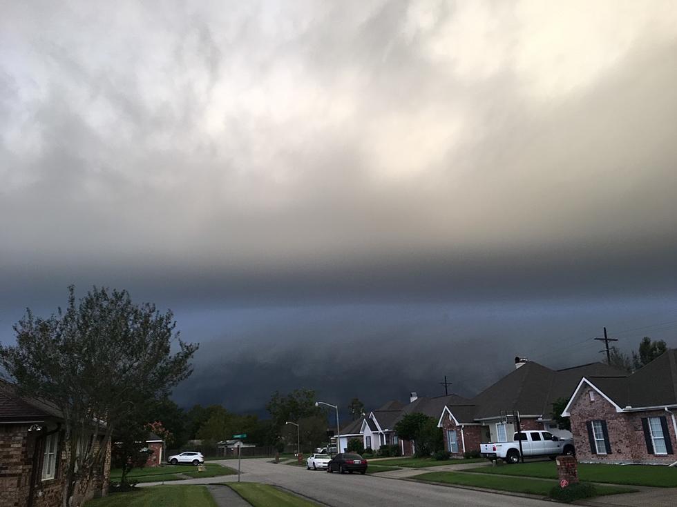
We do know that Louisiana will be in the midst of a very unsettled weather pattern in the next couple of weeks. "Unsettled" is what forecasters use when they know it's not going to be nice, they just haven't figured out how "not nice" it's going to be. The Weather Prediction Center has placed a large portion of Louisiana on alert for potential flooding issues. Here's the outlook for "excessive rainfall" as we move into Tuesday and Wednesday.
For South Louisiana, we're probably not going to get into serious rain chances until Tuesday. It's a typical scenario. A cold front brings rain and storms Tuesday through Tuesday night and early Wednesday, then it gets cold. The graphic below from the NWS Forecast Office in Lake Charles gives you a great picture of how forecasters believe the week's weather will play out.
Looking much further down the road, another significant storm will move across the country next weekend. By February 16th, a week from tomorrow, we'll have another significant drop in temperatures. As of now, the long-range model forecasts don't suggest any wintry precipitation for Louisiana, but the current guidance does bring it close to the state's northern parishes.
And then just like Sam the piano player in the classic motion picture Casablanca, we'll "play it again" on or about Thursday, February 16th. Again, the prognostication suggests rain, maybe some strong storms, and colder temperatures. But, no wintry precipitation is forecast to move into Louisiana, as of now. We keep adding that caveat because the confidence in that level of detail for these longer-range forecasts is never very high.
Here is what you need to know in a nutshell. Rain and colder temperatures Tuesday and Wednesday for the upcoming week. Another round of rain and colder temperatures for the Monday after Valentine's Day. Then another round of rain, storms, and colder weather, three days later.
It is no wonder that Louisiana is leading the nation in Emergency Department visits for the flu. But is it the colder weather that makes us sick or is it how we adjust our lives during colder weather that causes us to become ill? Here's what the experts say on that.
We'll just say, enjoy the springlike weather today and Monday and get ready to pull those jackets and sweaters out of the closet in the next few days. And don't forget Friday is Valentine's Day. How many of these do you remember?
LOOK: 45 Retro Valentine's Day Cards '80s and '90s Kids Will Instantly Remember
Gallery Credit: Rob Carroll
More From 97.3 The Dawg


