Louisiana’s Severe Weather Threat – When to Expect the Worst
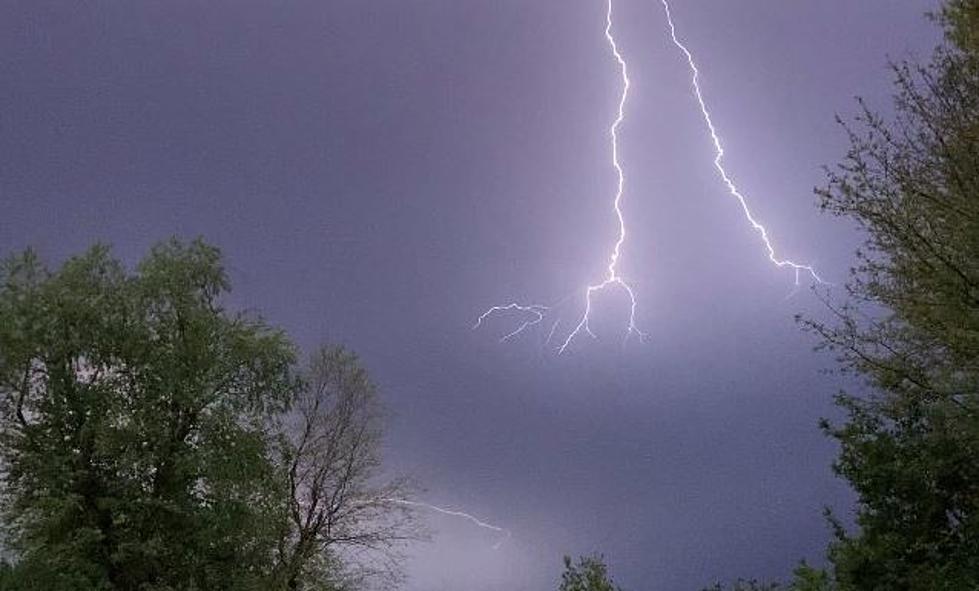
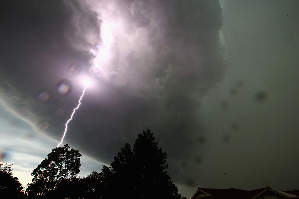
At least Mother Nature is throwing the storm clouds at us during the workweek and for the most part, is leaving our weekends alone. That's what's known as looking for a "silver lining" in all of these dark clouds that you'll probably notice racing over your heads this morning.
Once again South Louisiana, Lafayette, Lake Charles, and the I-10 corridor find themselves under a significant severe weather threat as we move through the middle of the week. Just like last week, many schools systems have opted to err on the side of caution and have decided to suspend classes for today.
That threat won't likely show up in the area in the form of strong thunderstorms until much later today. You can track their progress on the National Weather Service Radar.
And even then the worst of the weather will likely be very short-lived. But, if you saw some of the devastation caused by last week's spate of strong storms you can understand why many school officials opted to keep kids at home and busses off of the roadways today.
The Storm Prediction Center has almost all of Louisiana under some kind of risk for severe storms today. The Lake Charles and Shreveport areas are in the "slight risk" zone. The Lafayette area is in the "enhanced risk" zone. Baton Rouge and most of the New Orleans Northshore are in the "moderate risk" zone for severe storms.
As you can see from the graphic provided by the SPC forecasters are thinking that the very worst of today's severe weather outbreak will be just to the north and east of the "Heart of Acadiana". That doesn't mean areas that are nearby won't experience strong or even severe storms.
There is currently a High Wind Warning posted for all of Southwest Louisiana. This means that winds of 40 mph or stronger can be expected during the day today. Some of those wind gusts could get even higher near strong thunderstorms. Speaking of those storms, when should you expect the worst of the weather to pass through your hometown?
The HRRR model suggests that Lake Charles will feel the effects of the approaching frontal system around lunchtime or maybe just after lunch later today. As you can see in the graphic from KATC Television's Chief Meteorologist Rob Perillo the line of storms should be moving into western sections of Acadiana in the early afternoon hours.
For the Lafayette area, the HRRR Model puts the worst of the weather right over us just about the time schools would be dismissing. So, maybe it is a good thing that classes for many school systems were cancelled for today.
The good news is that the worst of the weather should move out of the area almost as quickly as it moves in. That means that by tonight conditions should have calmed down considerably. The outlook for the remainder of the workweek does call for nice weather through Saturday when we will likely see another threat of showers.
Hopefully, we won't hear any of the names of any of the towns we know and love mispronounced on the news later today when they are discussing storm damage.
[carbongallery id="623cf4c4fef76954e97cfabd"
More From 97.3 The Dawg
