Remnants Of Tropical Storm Isaac Could Move Into The Gulf
Last week it seemed as if almost every available inch of the ocean was covered with some kind of tropical weather system. This week, it's decidedly quieter in the tropics and that's a good thing.
The National Hurricane Center is currently tracking two tropical depressions and one remnant low of a former tropical storm. Tropical Depression Florence is continuing to bring flooding rains to the Mid-Atlantic states after making landfall as a category 1 hurricane on Friday.
Tropical Depression Joyce remains well out at sea and is moving away from the United States. Over the weekend Hurricane Helene was downgraded and then dissipated and is no longer being monitored by the Hurricane Center.
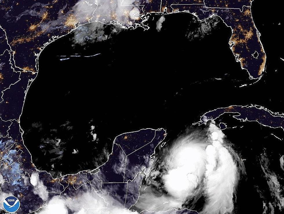
That leaves what used to be known as Tropical Storm Isaac. The showers and thunderstorms associated with that weather system are currently centered near the island of Jamaica. Forecasters believe the associated shower activity and thunderstorms will slowly move off to the northwest over the next several days.
This motion would bring the convection into the Gulf of Mexico by the end of the week but conditions do not favor any strengthening for this system. In fact, the Hurricane Center suggests the probability of Isaac reforming over the next few days will be less than 20%. Conditions for strengthening get even worse after Wednesday.
A quick check of some of the long-range tropical models does not suggest tropical formation in the Gulf of Mexico or the Caribbean Sea over the next several days. However, we are still very near the peak of the hurricane season and there is another secondary peak that happens in the first weeks of October.
More From 97.3 The Dawg


