
Severe Storms Could Pop Up Again Today In Acadiana
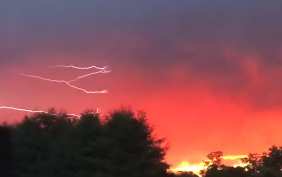
Just about the time many of us were leaving work yesterday a round of pop up thunderstorms rumbled across Acadiana. The showers and storms stayed fairly active into the early evening hours and eventually dissipated with the setting of the sun.
The same thing could likely happen today. However, whether it will happen over the same geographical area of South Louisiana is the bigger question. Forecasters with the National Weather Service Office in Lake Charles say the probability of precipitation across the Acadiana region is about 40% today.
But in that 40% probability is the potential for severe storms. That is why the Storm Prediction Center has placed almost the entire state of Louisiana in the marginal risk zone for thunderstorm development.
As we experienced yesterday, some of these "popcorn" thunderstorms can really pack a wallop. We can't rule out gusty winds, heavy downpours, frequent lightning, and thunder loud enough to scare a 50-pound dog underneath a coffee table. That's what happened at my house.
Our advice, keep an eye to the sky, especially from lunchtime until sunset. Once the sun goes down the atmosphere should settle down and leave us with a typical Summer evening with pleasant temperatures and hairdo destroying humidity.
More From 97.3 The Dawg


