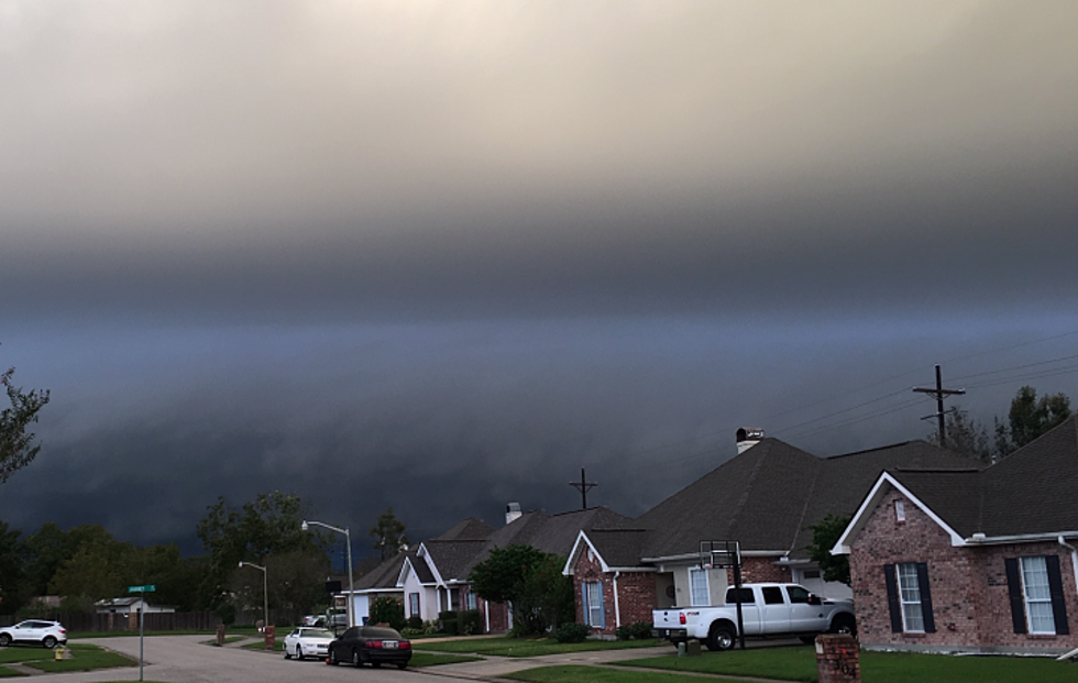
Severe Threat Should Stay North of Acadiana
What is the old saying about the month of March? It comes in like a lion and out like a lamb or is it the reverse of that? Or, because this has been one of the strangest months we've ever experienced because of the coronavirus nobody is actually sure what month it is anyway?
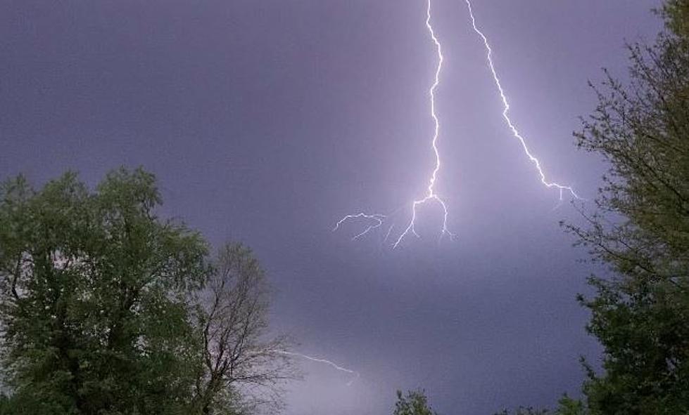
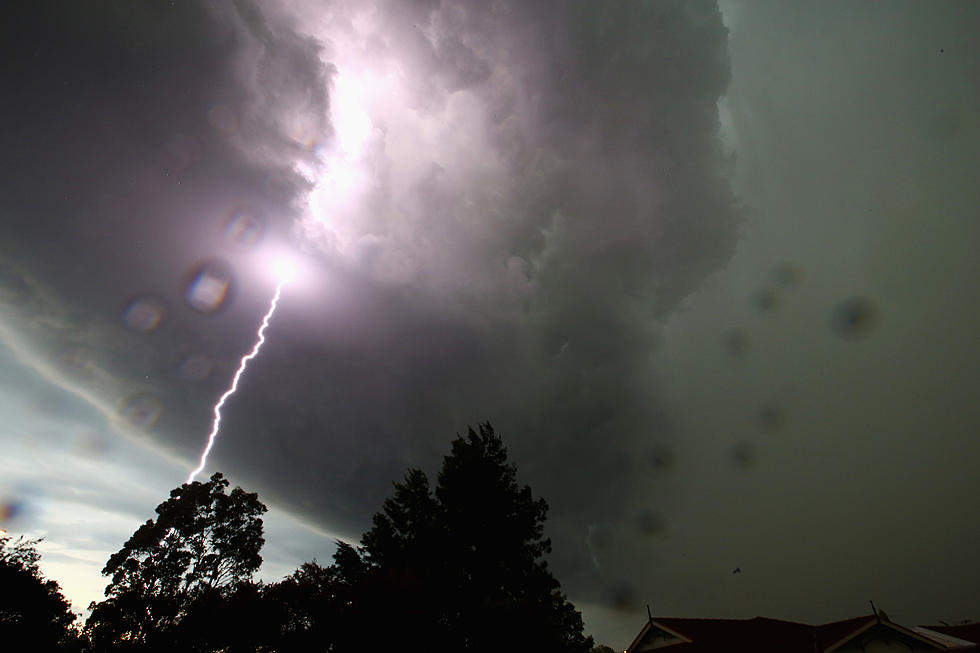
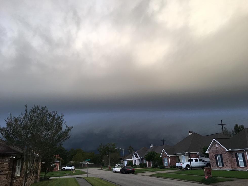
The out like a lion statement will likely be the one most applicable to Louisiana's weather for the next day or so as we move from March into April. A storm system moved through the area late Saturday and early Sunday. This made for a slightly cooler day yesterday.
Today a low-pressure system will move across Texas bringing with it an increased threat of showers and storms. The Storm Prediction Center has noted that a large portion of north Louisiana will be in the slight risk of severe storms zone for much of the day and especially into the evening hours.
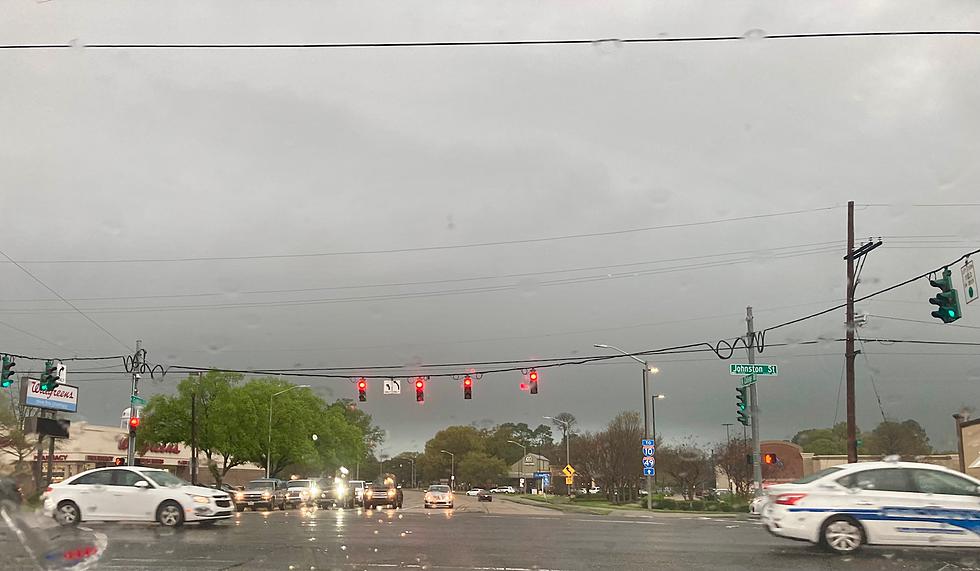
For those of us along the I-10 corridor, we don't anticipate seeing any severe storms with this system. However, we can't rule out a strong storm or downpour during the next 24 to 48 hours. Based on the timing from the forecast models it does look as if our greatest threat for rain will come during late evening hours or more likely the early morning hours of Tuesday.
After the system passes during the early morning hours of Tuesday we can expect slightly cooler temperatures for Tuesday and Wednesday. Thursday, Friday, and Saturday will have at least a small risk of showers as you plan ahead for next weekend.
More From 97.3 The Dawg

