Severe Weather Possible Tuesday and Wednesday in Acadiana
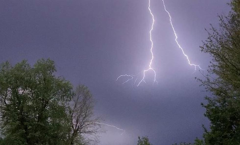
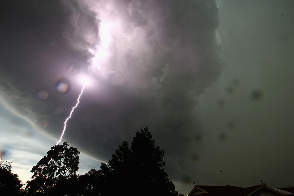
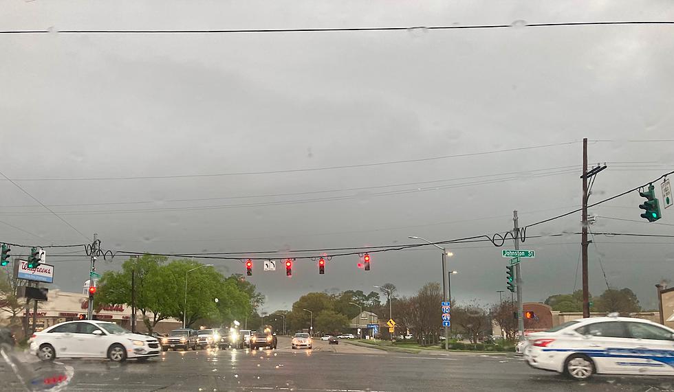
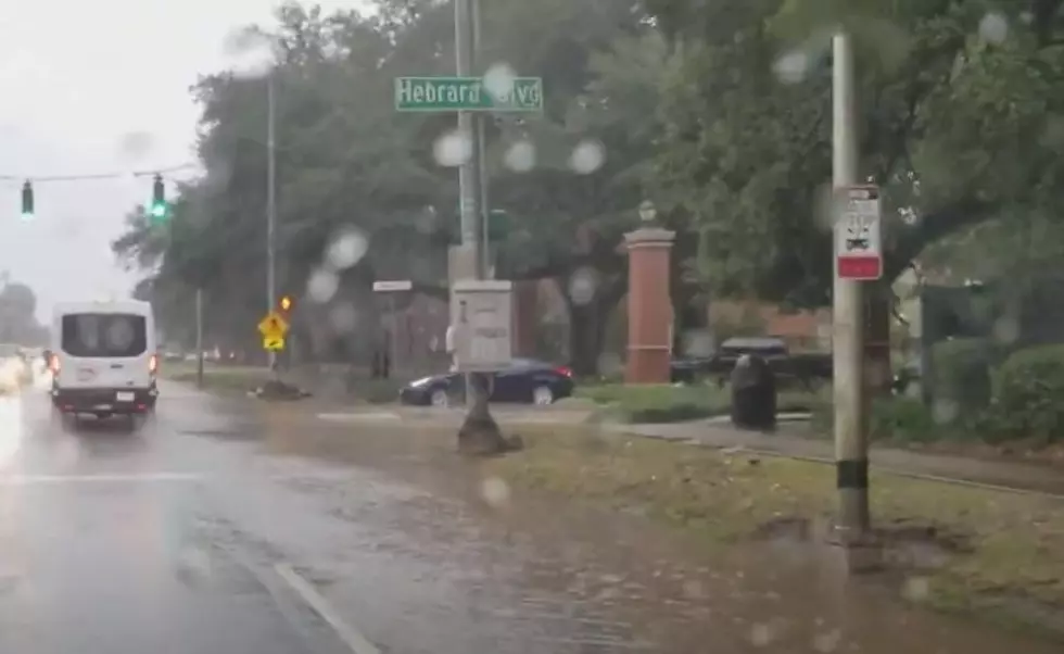
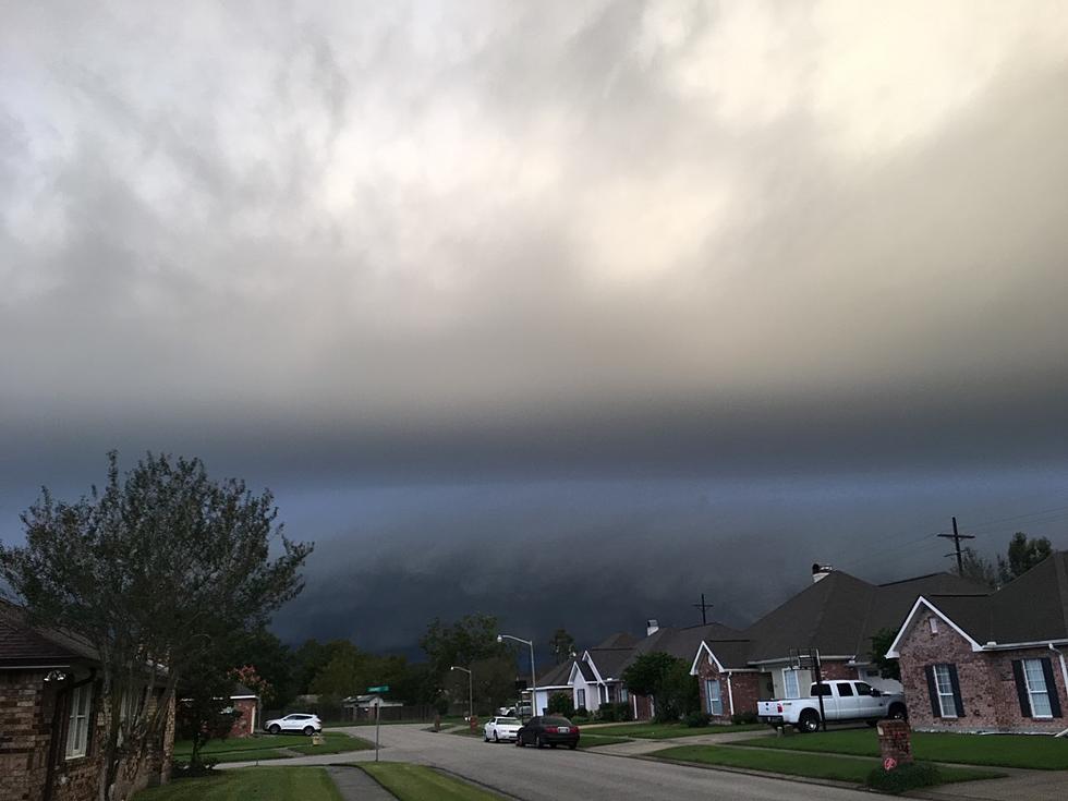
We are definitely in the flow of the typical springtime weather pattern for South Louisiana. We are seeing gorgeous days filled with cool mornings and sun-soaked afternoons followed by days of intense showers and the threat of severe storms. If it seems like we're facing a severe weather threat once a week, you'd be about right.
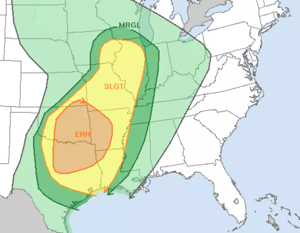
This week's severe storm threat will move into the state from the west during the day on Tuesday. The Storm Prediction Center has included the northwestern half of the state in the slight risk of severe storms forecast for Tuesday. Much of the rest of the state, including Lafayette and the Atchafalaya Basin, are included in the marginal threat risk for that same time period.
That being said, many forecast models don't show the real threat for Acadiana materializing until Wednesday. The European Weather Model suggests that our greatest risk of storms won't arrive in the heart of Acadiana until early to mid-morning on Wednesday.
The good news out of all of this is we could use the rain. Especially along the coast. The bad news is that the threat of severe weather will once again have us on our toes into the late-night hours of Tuesday and most likely the wee small hours of Wednesday morning.
Hey, if you don't have our station app downloaded, now would be a good time to do that. You can sign up for breaking news and weather alerts. We hope we won't have to be sending any your way, but in case we do, it will help to keep you and your family safe.
If Lafayette Streets Could Talk
More From 97.3 The Dawg

