Severe Weather Threat Returns to Louisiana by Wednesday
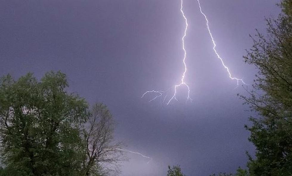
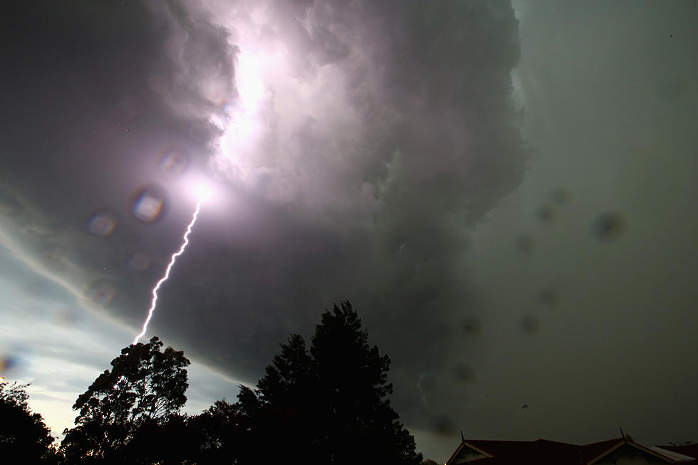
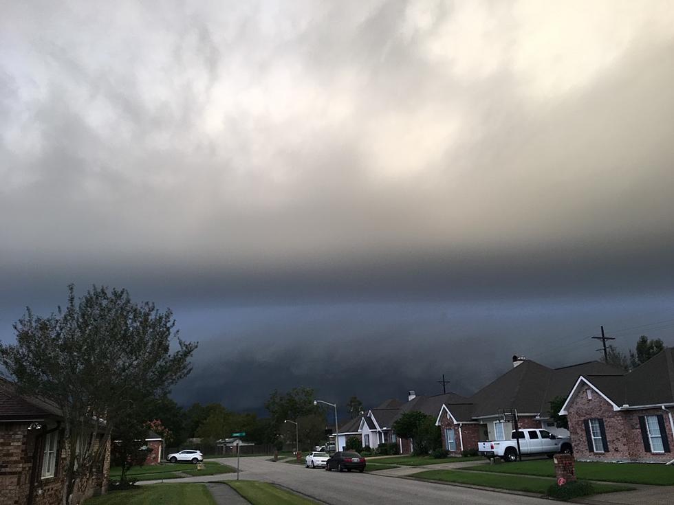
If you didn't get enough thunder, lightning, high wind, heavy rain, and hail over the weekend well don't fret, your chance to have severe weather at your house will likely be back in the state by Wednesday afternoon and evening.
As many communities are spending part of today cleaning up from this past weekend's storms forecasters with the Storm Prediction Center are urging you to be ready for another round of bumpy weather by the middle of the week. They have already placed a large part of the state in the slight risk zone for severe storms during the day on Wednesday.
The catalyst for the midweek severe weather threat will once again be a cold front and associated low-pressure center pushing across the great plains toward the east. By Wednesday that system should be centered in eastern Texas and the energy associated with it combined with an abundance of Gulf of Mexico moisture could kick up another round of strong storms and heavy rain.
Chief Meteorologist Rob Perillo with KATC has a very nice explanation of what he believes will unfold as we move through the work week. The way Rob's prognostication times out it looks as if the stronger storms will enter the state from the west on Wednesday afternoon and then spread across Acadiana during the late afternoon and evening hours.
.
9 STEPS TO BUILDING THE PERFECT BOX GARDEN
More From 97.3 The Dawg

