

Tropical Depression 6 Forms In Atlantic
An area of disturbed weather that has been meandering off the coast of Africa the past few days has finally gotten organized enough to be classified as a tropical depression. The system has been monitored by the National Hurricane Center as Invest 91L is expected to strengthen over the next several days.
The reliable tropical tracking models suggest this system should remain well out to sea. It is expected to follow a course that would keep the center of the storm over open water. Should the system strengthen and become a tropical storm the name designated would be Eduoard.
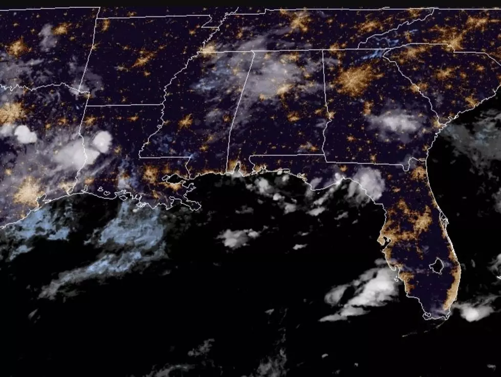
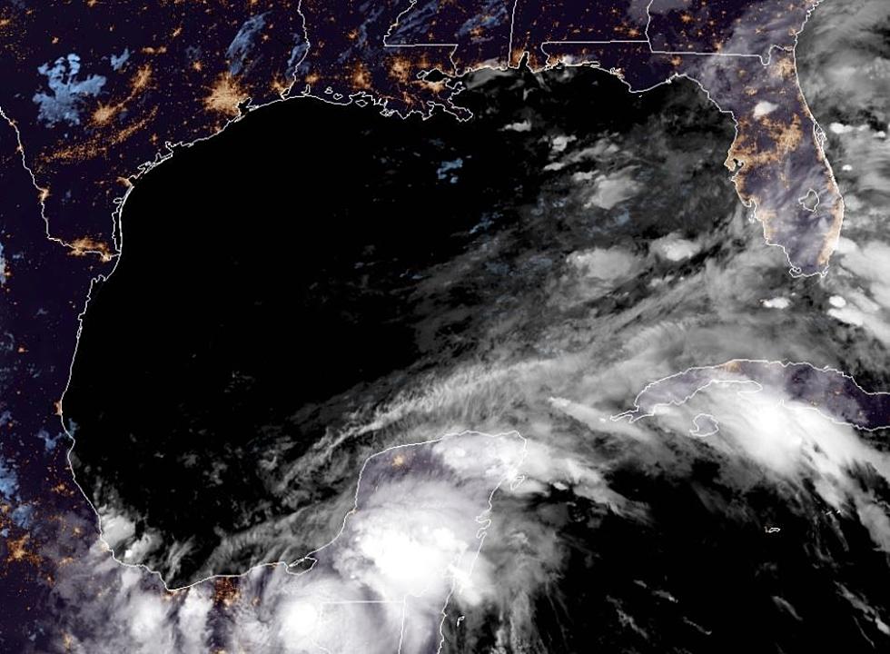
Meanwhile the Hurricane Center continues to monitor an area of disturbed weather off the southeast coast of Florida. As of now the thinking is this system will move west across the Florida Peninsula and eventually get into the northern Gulf of Mexico.
How strong will this system get? That remains to be seen but reliable tracking models do suggest the system could bring showers and breezy conditions to the northern Gulf Coast next week. As of this morning the Hurricane Center gave this system a 30% of strengthening into a tropical cyclone over the next 5 days.
More From 97.3 The Dawg


![Tropical Storm Warning Posted For A Portion Of Louisiana’s Coast [Updated]](http://townsquare.media/site/33/files/2017/06/Tropics-June-201.jpg?w=980&q=75)