Tropical Development Likely In The Gulf This Weekend
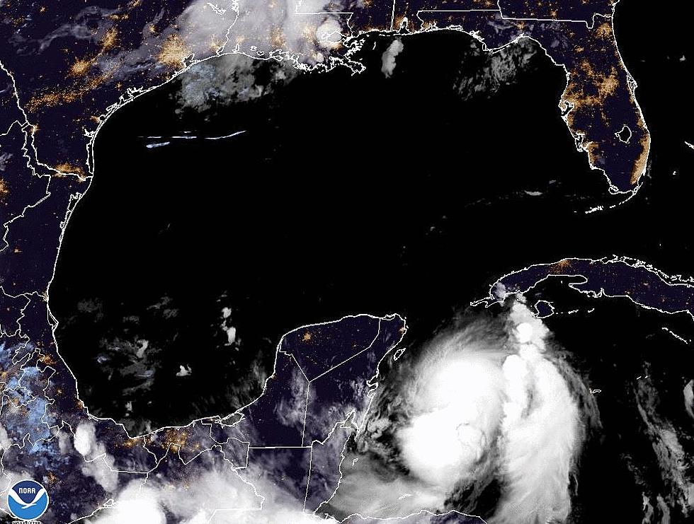
Forecasters with the National Hurricane Center have given an area of disturbed weather near the Yucatan Peninsula a 70% chance of becoming a tropical cyclone by Memorial Day.
The most likely scenario is that the system will strengthen into a tropical depression but we can't rule out the possibility of a stronger tropical entity by the time this system eventually moves onshore. The most likely scenario for an interaction with the U.S. coastline is from New Orleans to the west and Tampa Bay to the east.
The fairly reliable European Model brings the center of the system onshore sometime Tuesday morning between the mouth of the Mississippi River and Mobile Bay. If this scenario holds true there could be copious amounts of rain over the "Redneck Riviera" from Saturday through early next week.
The GFS Model predicts a scenario where the center of circulation stays just off the west coast of Florida and eventually crosses the coast near Apalachicola Florida sometime on Sunday. If that scenario holds there will still be rain along the beaches of Alabama and the Florida Panhandle but not as much of it.
The National Hurricane Center guidance is basically split between those two scenarios. As far as Acadiana effects are concerned. We will most likely see an increase in rainfall probabilities through the holiday weekend and into early next week.
More From 97.3 The Dawg


